National Geographic
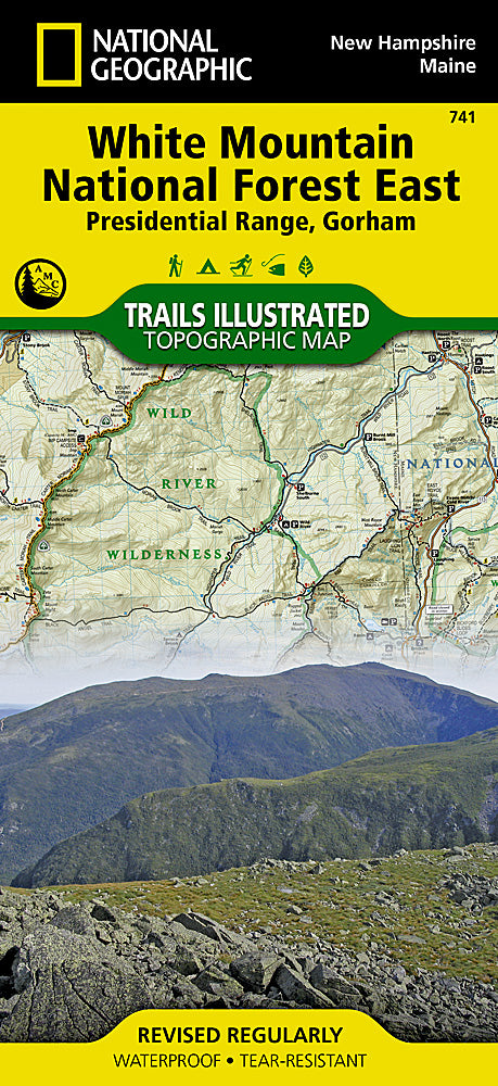
White Mountain National Forest East Trails Illustrated Topo Map #741
White Mountain National Forest East Trails Illustrated Topo Map #741
Couldn't load pickup availability
Share
Get ready to explore the rugged beauty of New Hampshire with National Geographic’s White Mountain National Forest East Trails Illustrated Topographic Map #741! Perfect for hikers, campers, and outdoor adventurers, this map puts the region’s stunning peaks and hidden trails right at your fingertips.
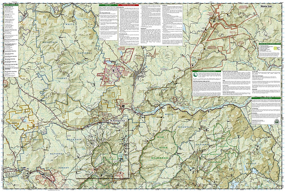
Navigate the iconic Franconia Notch, take in the breathtaking views from Mount Washington, or stroll through the serene Crawford Notch—all mapped in precise topographic detail. Rich in history, the area has long drawn explorers, from early settlers to 19th-century tourists seeking the majesty of the White Mountains.
Every Trails Illustrated map is printed on waterproof, tear-resistant paper, so it can keep up with your toughest adventures. A full UTM grid makes GPS navigation simple, while detailed trails, contour lines, and natural features help you plan your route with confidence. Conquer peaks, follow rivers, and discover hidden gems with this essential hiking companion.
SKU: SKU:TRA741
View full details