Ordnance Survey
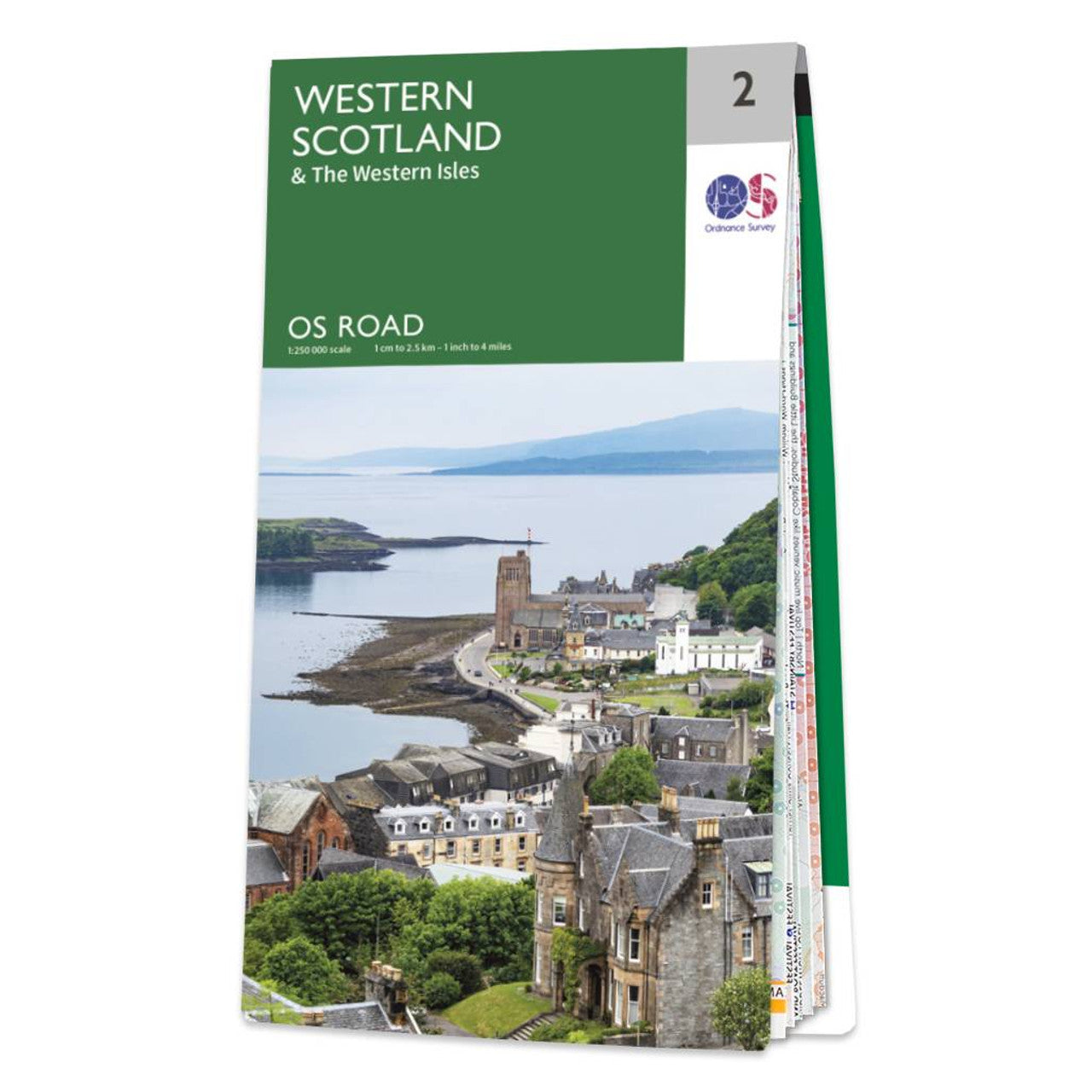
Western Scotland Road & Reference Map by Ordnance Survey
Western Scotland Road & Reference Map by Ordnance Survey
Couldn't load pickup availability
Share
Discover the beauty of Scotland’s wild west coast with the Ordnance Survey Western Scotland Road Map. Designed at a practical 1:250,000 scale, this map is your essential companion for car touring, scenic drives, and long-distance cycling adventures.
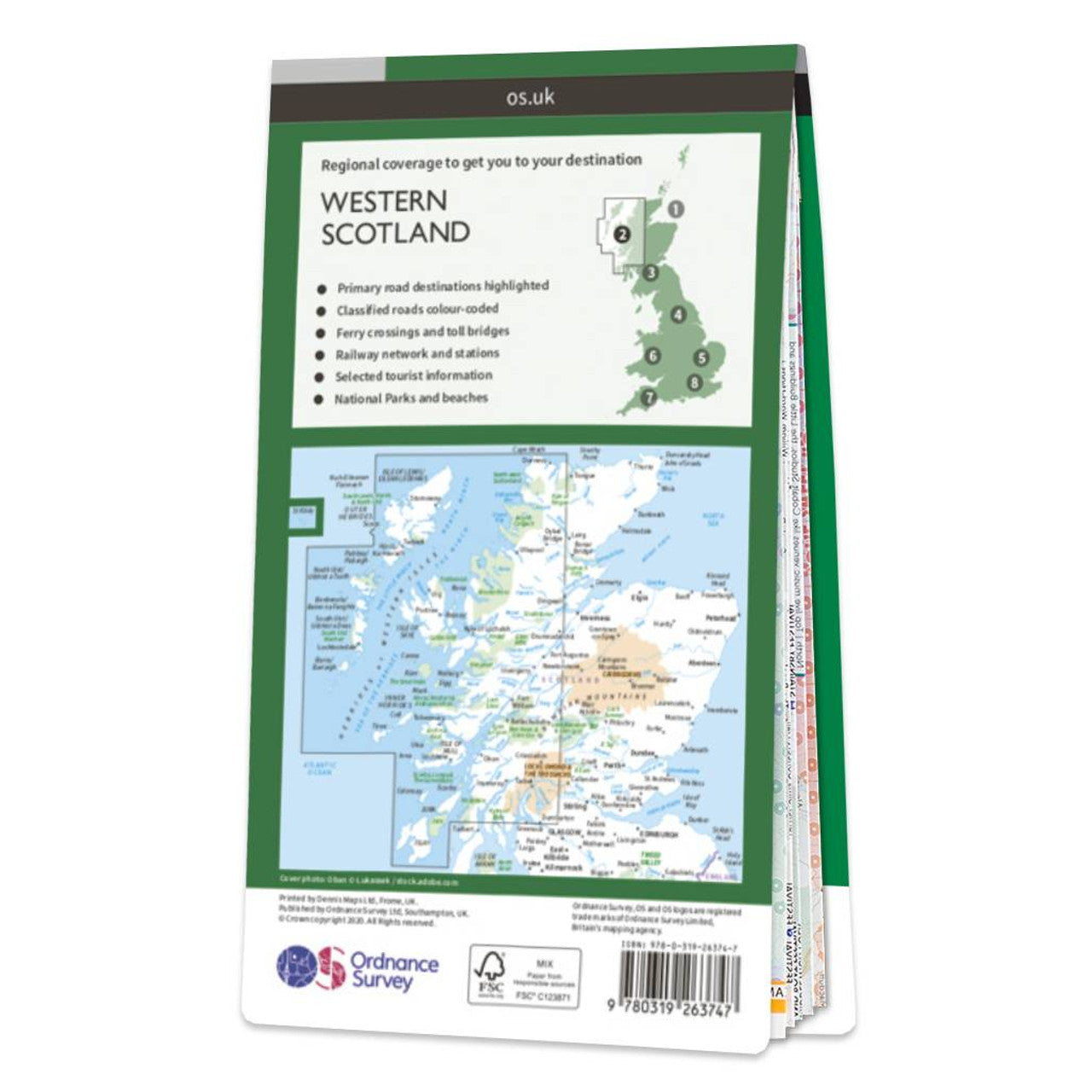
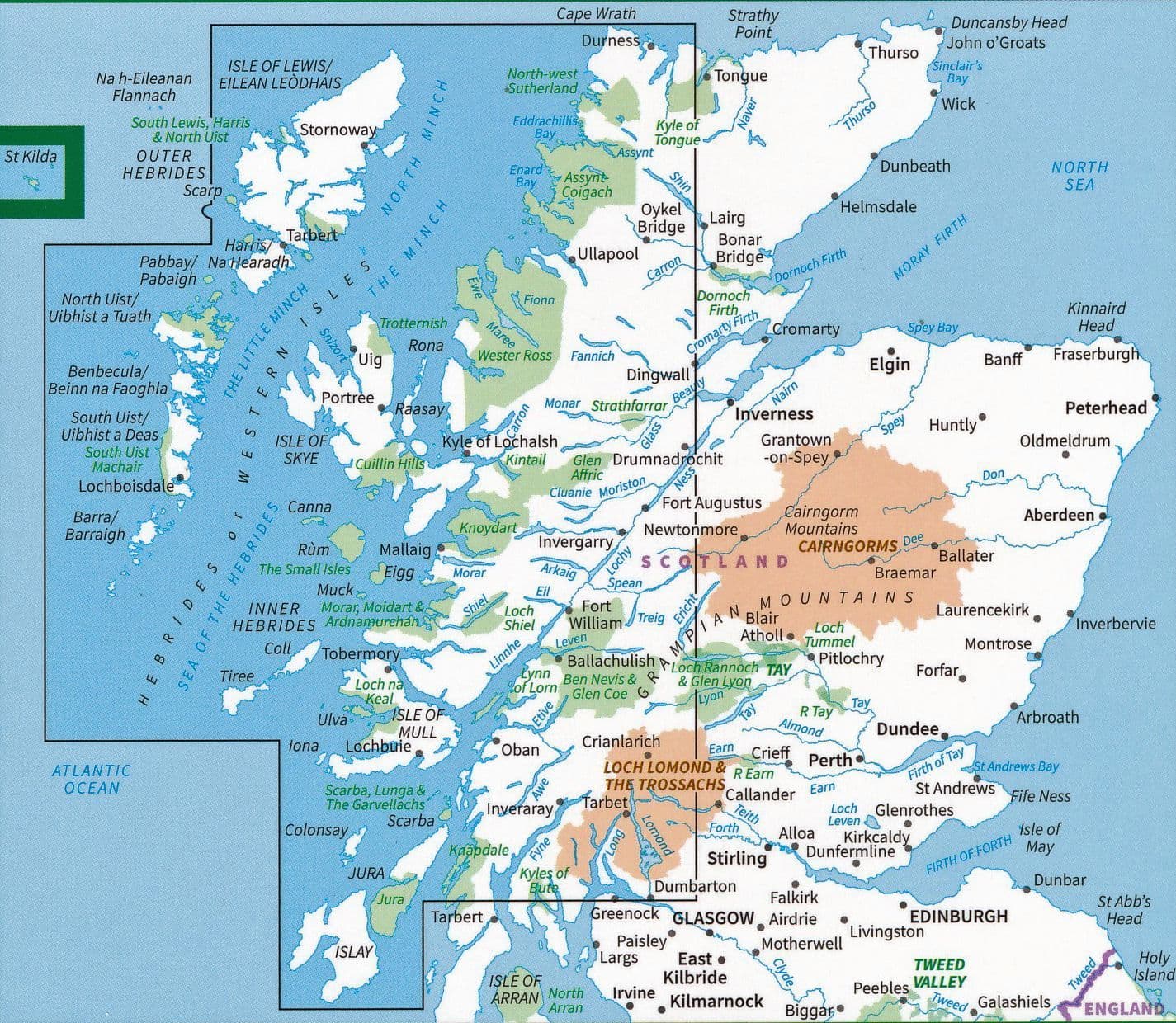
Covering everything from the rugged Highlands to the stunning Western Isles, including the Hebrides, it offers a detailed look at major roads, railway routes, and ferry connections. Explore charming towns, historic landmarks, and remote corners with confidence. Contours and hill shading bring the landscape to life, helping you navigate valleys, peaks, and coastal routes with ease.
Whether you're planning a holiday getaway or a spontaneous road trip, OS Road 2 gives you the freedom to roam with clarity and precision. Created by Ordnance Survey, the national mapping agency for Great Britain, this map combines trusted detail with beautiful cartography. Get ready to plan, explore, and fall in love with Western Scotland.
SKU: SKU:MAPOSRM2
View full details