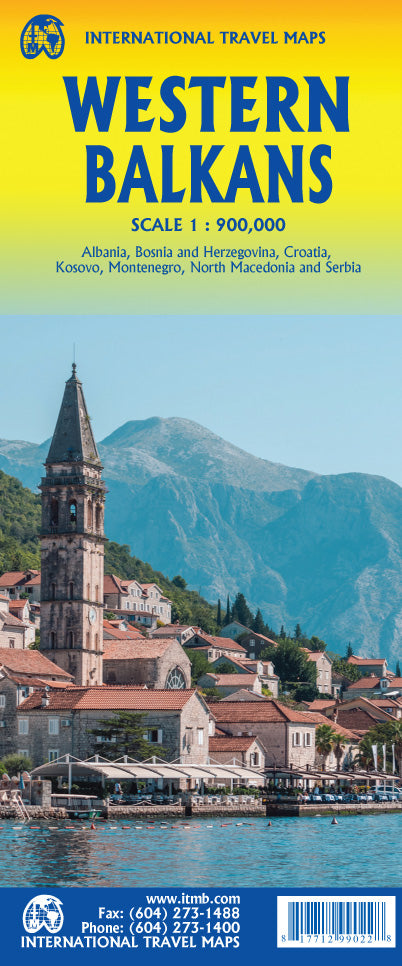
International Travel Maps
Western Balkans Travel & Reference Map by ITMB
Western Balkans Travel & Reference Map by ITMB
Couldn't load pickup availability
Share
Explore one of Europe’s most fascinating regions with the double-sided Western Balkans Travel & Reference Map by ITMB, scaled at 1:900,000. Stretching from Trieste to Sofia, this detailed map covers Slovenia, Croatia, Bosnia & Herzegovina, Serbia, Montenegro, Kosovo, Northern Macedonia, and parts of Albania, Hungary, and Bulgaria.
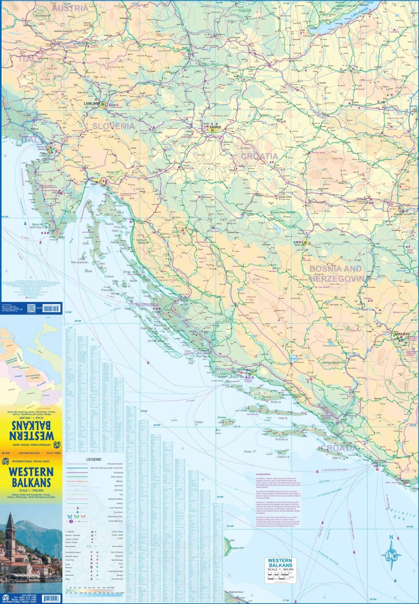
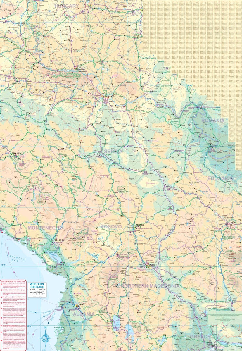
Side one highlights the sparkling Adriatic coastline with ferry routes to Italy, the coastal highway to Greece, and cities like Ljubljana, Zagreb, Split, and Dubrovnik. Side two dives into the rugged interior, from Lake Balaton down to Thessalonica, showcasing vibrant capitals such as Belgrade, Sarajevo, Skopje, and Tirane. Discover Plitvice Lakes National Park, the medieval charm of Mostar’s Stari Most Bridge, or the dramatic Bay of Kotor.
Perfect for planning road trips, hikes, or cultural adventures, the map features roads by classification, airports, rivers, lakes, and national parks. Folded to a convenient size, it unfolds to 27" x 39" for easy, practical travel reference.
SKU: SKU:ITMWBALKANS
View full details