International Travel Maps
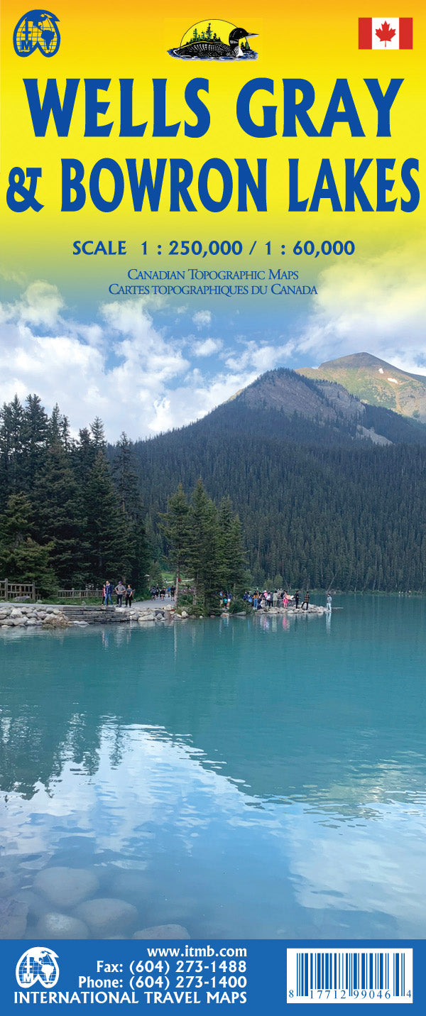
Wells Gray & Bowron Lakes Topographic Travel Map by ITMB
Wells Gray & Bowron Lakes Topographic Travel Map by ITMB
Couldn't load pickup availability
Share
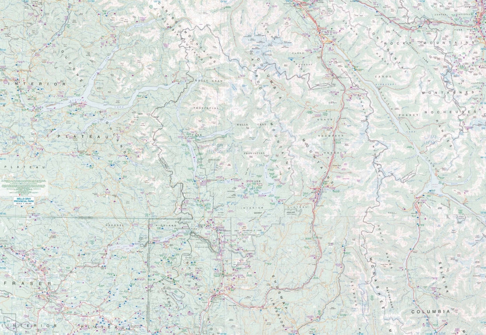
Discover adventure in British Columbia’s wilderness with the Wells Gray & Bowron Lakes Topographic Travel Map by ITMB. This double-sided, folded map at scales 1:250,000 and 1:60,000 is the perfect guide to exploring Bowron Lake Provincial Park in the Cariboo Mountains. Paddle the world-famous Bowron Lake Canoe Circuit, marvel at Helmcken Falls in Wells Gray Provincial Park, or trek through the rugged peaks of the Cariboo Mountains. The map highlights the area’s 12 interconnected lakes, scenic trails for hiking, horseback riding, and skiing, plus key access roads for planning your trip.
With detailed topographic information and a comprehensive legend covering roads by classification, rivers, lakes, national parks, airports, highways, points of interest, and more, this map ensures you won’t miss a thing. Sized at 27" x 39", it’s an essential companion for outdoor enthusiasts eager to explore northern BC’s wild beauty both on water and on land.
SKU: SKU:ITMBOWWELLS
View full details