DeLorme
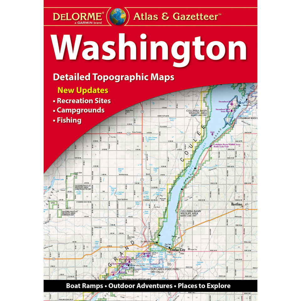
Washington Topographic Atlas & Gazetteer by DeLorme
Washington Topographic Atlas & Gazetteer by DeLorme
Couldn't load pickup availability
Share
Hit the trails, discover hidden gems, and explore the Evergreen State with confidence! The DeLorme Washington Topographic Atlas & Gazetteer puts 98 pages of outdoor adventure at your fingertips—no cell signal, scrolling, or unfolding giant maps required.
From rugged mountain passes to peaceful lakeshores, this hiker-friendly atlas is your go-to guide for discovering Washington’s wild side. Its detailed, full-color topographic maps help you find trailheads, recreation areas, scenic drives, historic sites, boat launches, fishing hotspots, and more. Explore Mount Rainier National Park, wander the spectacular trails of Olympic National Park, or venture into the Cascade Range for your next unforgettable outdoor escape. Discover popular destinations like Mount St. Helens National Volcanic Monument and the Columbia River Gorge, too!
Unlike online maps that depend on battery life and connectivity, this handy atlas keeps essential navigation details together in one easy-to-reference resource. An extensive index, latitude/longitude grid for GPS navigation, major-city insets, and state-lands maps make planning your next hike or backcountry road trip a breeze.
Product Details:
- 104 pages, including 98 map pages
- Full-color topographic maps
- Dimensions: 15.5" x 11"
- Indexed with GPS-friendly latitude/longitude grids
SKU: SKU:DELWA
View full details