Mitchell Geography
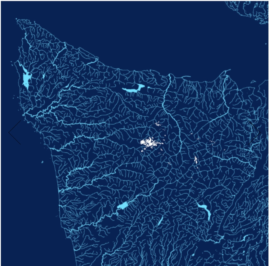
Washington State Rivers / Hydrology Map
Washington State Rivers / Hydrology Map
Couldn't load pickup availability
Share
Water shapes Washington—and this striking Washington State Rivers / Hydrology Map brings that story to life at a glance. Rivers, lakes, glaciers, and snowfields flow across the landscape in a vivid, color-shaded relief design that instantly grabs attention on any wall.
Printed on heavy fine paper in either a 24" x 20" or 19" x 13" format, this beautifully detailed map highlights the Evergreen State’s intricate water network. Hydrology—the study of how water moves across and through the Earth—comes alive here through carefully styled line weights that show stream order, from small creeks to major rivers. The graphic includes rivers, streams, lakes, reservoirs, and brilliant white glaciers and snowfields.
Washington’s waterways helped shape its history, from Indigenous trade routes to the 19th-century fur and timber industries. Follow the mighty Columbia River, trace waters flowing toward Puget Sound, and spot glaciers crowning Mount Rainier.
A stunning blend of science, geography, and art, this hydrology map is perfect for map lovers, educators, and Pacific Northwest enthusiasts alike.
SKU: SKU:PMG2X0006
View full details