USGS
Washington State Political Wall Map by USGS
Washington State Political Wall Map by USGS
Couldn't load pickup availability
Share
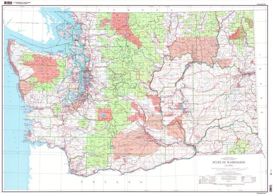
The USGS Washington State Political Wall Map offers a clean, uncluttered view of the Evergreen State, making it an excellent choice for homes, offices, classrooms, libraries, and map collections.
This detailed Washington State map shows major roads, railroads, rivers, county boundaries, cities and towns, national forests, and national parks. At a 1:500,000 scale, it provides broad statewide coverage while keeping important geographic and political features easy to find. With no contour lines, the simple political base map delivers a crisp look that works beautifully as both a practical reference map and Washington wall decor.
Last updated in 1982, this USGS Washington map remains a useful resource for anyone interested in Washington geography. Whether for education, planning, decoration, or exploration, this large wall map puts Washington State at your fingertips.
Size: 50" x 37"
Scale: 1:500,000
SKU: SKU:WA1188
View full details