National Geographic
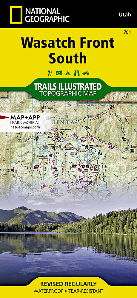
Wasatch Front South Trails Illustrated Topographic Map #701
Wasatch Front South Trails Illustrated Topographic Map #701
Couldn't load pickup availability
Share
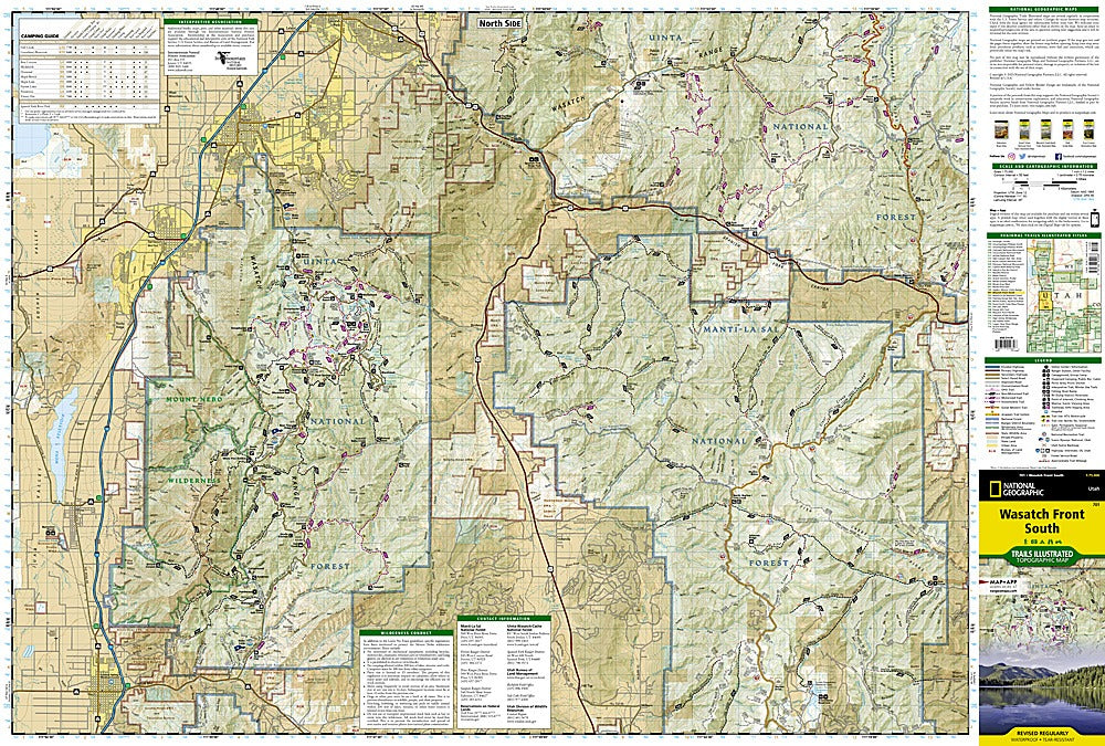
Hit the trails with confidence and uncover the hidden gems of Utah’s Wasatch Front South! National Geographic’s Trails Illustrated Topographic Map #701 is your ultimate hiker-friendly companion, guiding you from the striking peaks of Mt. Nebo Wilderness to the serene waters of Joes Valley Reservoir and the rugged beauty of Lake Canyon Recreation Area. Steeped in history, this region showcases centuries of pioneer exploration, mining heritage, and Native American legacy, all set against the dramatic backdrop of the Wasatch Plateau, Strawberry Ridge, and surrounding valleys.
Designed for adventurers, this map details miles of hiking, biking, OHV, and Nordic ski trails with elevation contours, labeled summits, and water features. Find campgrounds, climbing spots, fishing holes, boat ramps, and scenic byways—all clearly marked. Waterproof, tear-resistant, and GPS-ready with a full UTM grid, this map keeps you on course no matter how far off the beaten path you go. Explore more, worry less, and make every hike unforgettable!
SKU: SKU:TRA701
View full details