National Geographic
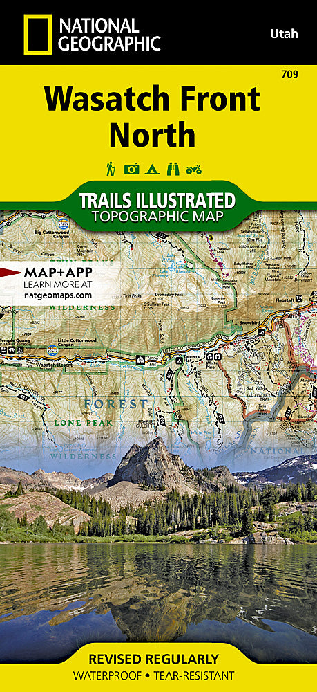
Wasatch Front North Trails Illustrated Topographic Map #709
Wasatch Front North Trails Illustrated Topographic Map #709
Couldn't load pickup availability
Share
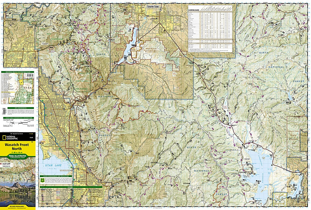
Hit the trails and explore Utah’s stunning Wasatch Front North like never before! National Geographic’s Trails Illustrated Topographic Map #709 is your ultimate guide to adventure, whether you’re chasing alpine views, serene lakes, or historic sites. Navigate the northern Wasatch region with ease, from the bustling streets of Salt Lake City to the sparkling waters of Strawberry and Deer Creek Reservoirs, and don’t miss the awe-inspiring Timpanogos Cave National Monument.
This hiker-ready map highlights miles of trails, including sections of the Great Western Historic Trail and the Historic Union Pacific Rail Trail. Scenic byways like Big Cottonwood Canyon and the Alpine Loop are clearly marked, along with picnic areas, campgrounds, boat launches, and ski spots. Contour lines, elevations, and trail mileages help you plan every step, while durable, waterproof, tear-resistant paper ensures it stands up to the elements. Explore history, nature, and adventure all in one indispensable map.
SKU: SKU:TRA709
View full details