Ordnance Survey
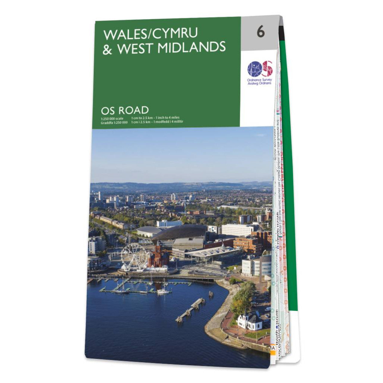
Wales/Cymru & West Midlands Road & Reference Map by Ordnance Survey
Wales/Cymru & West Midlands Road & Reference Map by Ordnance Survey
Couldn't load pickup availability
Share
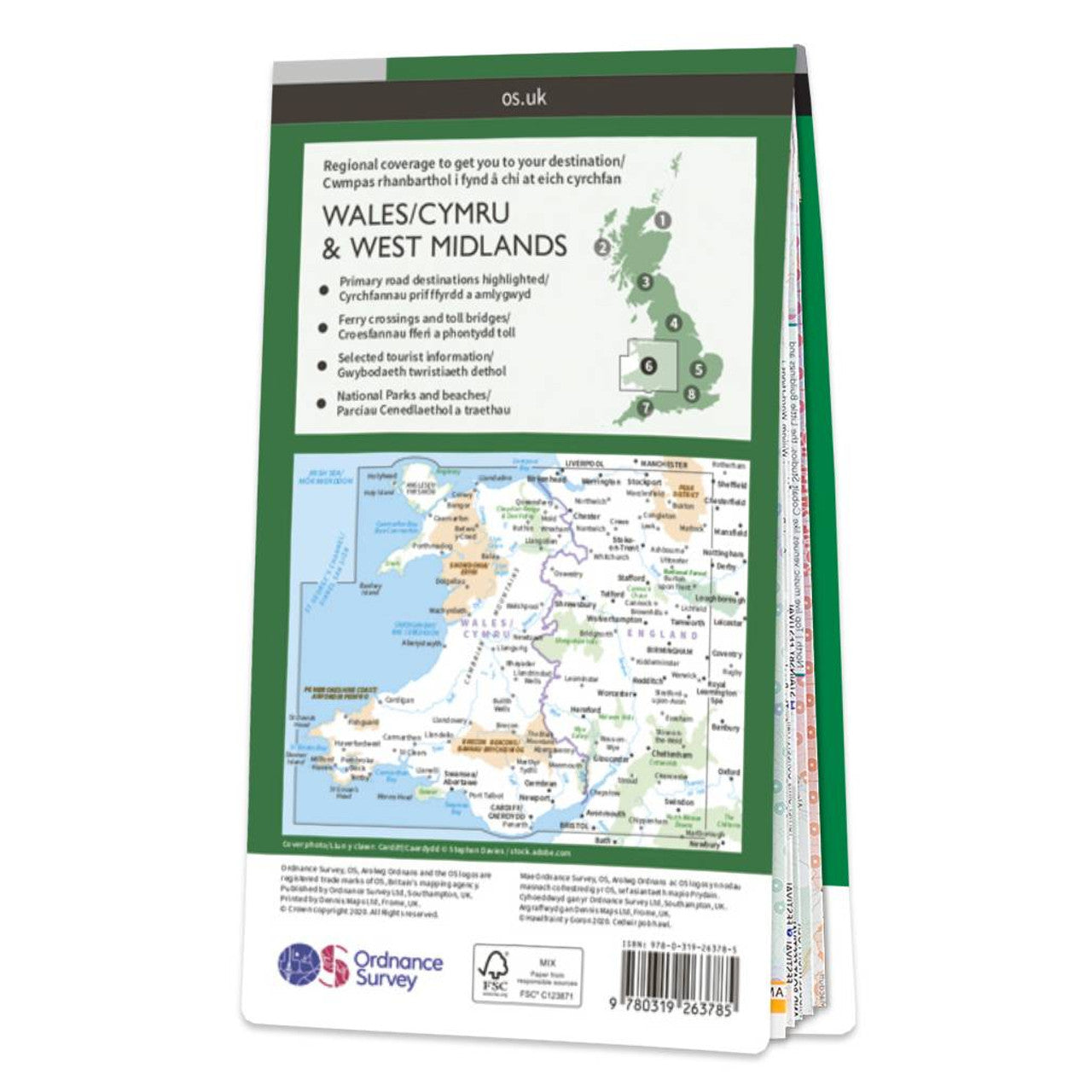
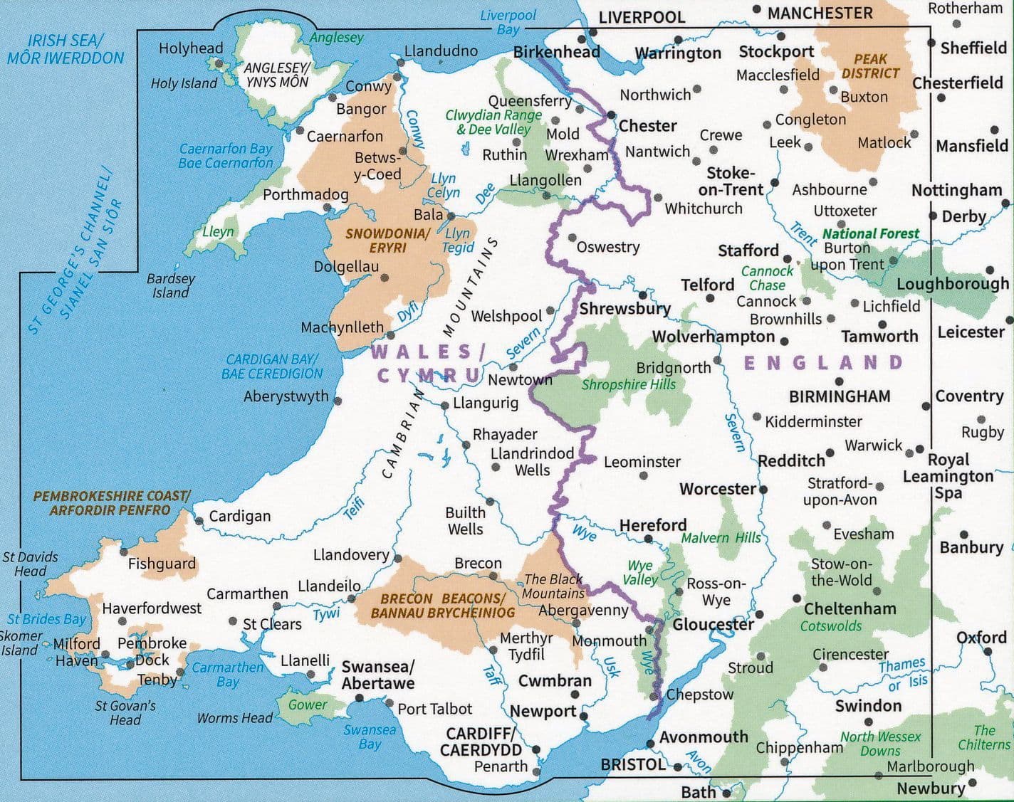
Discover the beauty of Wales and the West Midlands with the Ordnance Survey’s detailed Road Map at a 1:250,000 scale. Whether you're cruising scenic roads or pedaling through rolling hills, this map is your perfect travel companion. It features all major roads, railways, ferry routes, towns, cities, and selected points of interest to help you plan unforgettable journeys.
Admire the dramatic contours and hill shading that bring the terrain to life as you navigate through Snowdonia’s rugged peaks or explore the vibrant culture of Birmingham. Take a scenic drive along the Pembrokeshire Coast or cycle through the Brecon Beacons National Park for sweeping views and outdoor adventures.
Produced by the national mapping agency for Great Britain, this map combines trusted detail with practical design, making it ideal for road trips and cycling tours alike. Let this OS map guide your next great escape across the heart of Britain.
SKU: SKU:MAPOSRM6
View full details