National Geographic
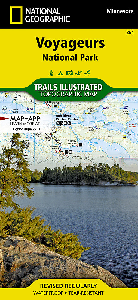
Voyageurs National Park Trails Illustrated Topographic Map #264
Voyageurs National Park Trails Illustrated Topographic Map #264
Couldn't load pickup availability
Share
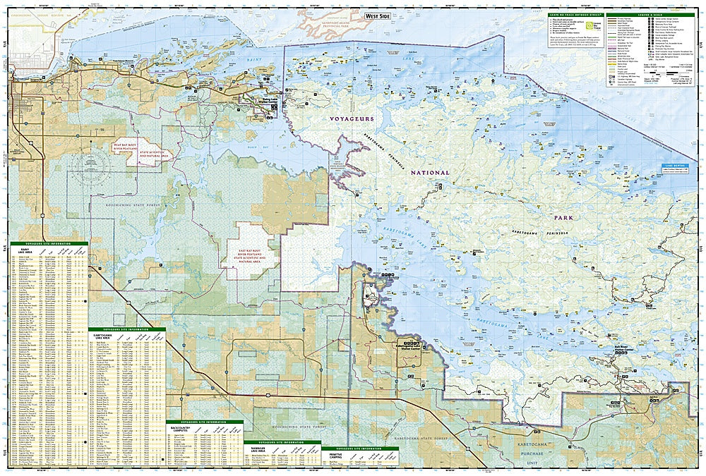
Get ready to explore Minnesota’s watery wilderness like never before! The National Geographic Trails Illustrated Topographic Map #264 of Voyageurs National Park is your ultimate companion for paddling, hiking, or snowshoeing through this breathtaking borderland paradise. Navigate the park’s iconic waterways with ease and discover must-see spots like Gull Island Rookery, Grassy Bay Cliffs, and Kettle Falls, all teeming with wildlife and history.
This hiker-friendly map delivers precision with contour lines, trail details, and elevations, plus clearly marked visitor centers, boat launches, and campsites. Learn about the park’s rich past, from its fur-trading routes to early exploration, while planning your next adventure on Rainy, Kabetogama, or Namakan lakes. Winter travelers will love snowmobile and cross-country ski trail info, too.
Printed on waterproof, tear-resistant “Backcountry Tough” paper with a full UTM grid, this Trails Illustrated map ensures you’ll explore Voyageurs safely, confidently, and in style—whether by paddle, boot, or snowshoe.
SKU: SKU:TRA264
View full details