National Geographic
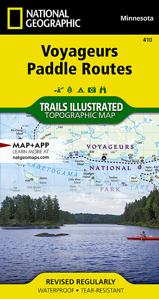
Voyageurs National Park Paddle Routes Trails Illustrated Topo Map #410
Voyageurs National Park Paddle Routes Trails Illustrated Topo Map #410
Couldn't load pickup availability
Share
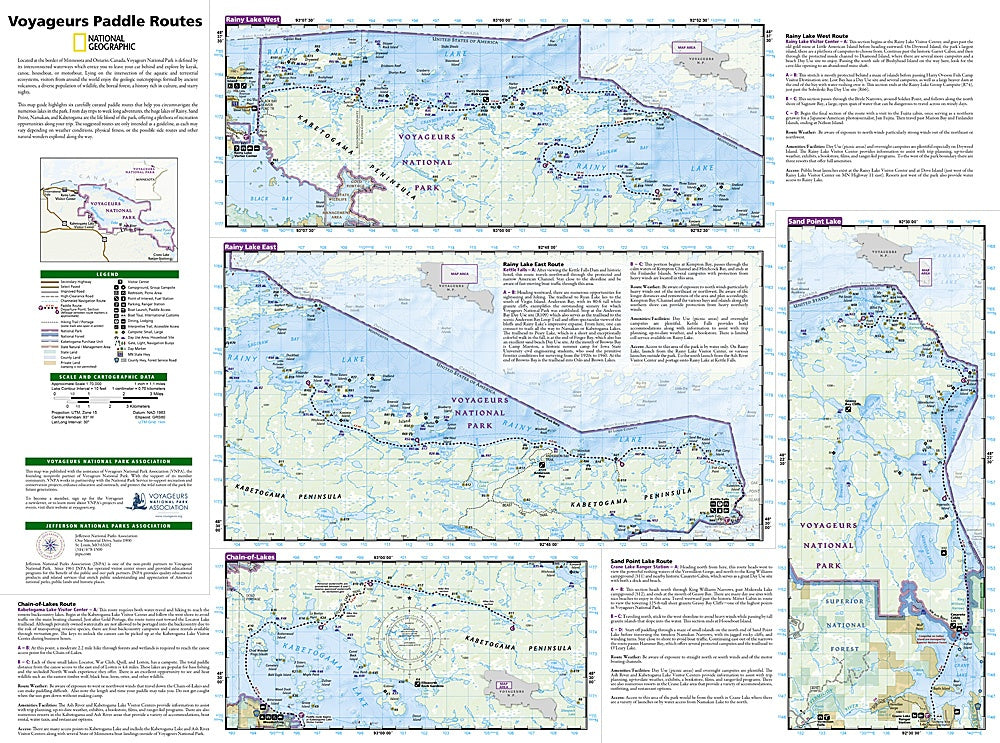
Discover the ultimate adventure on the water with the Voyageurs National Park Paddle Routes Trails Illustrated Topographic Map #410 by National Geographic! Perfect for hikers, paddlers, and explorers, this map transforms the park’s vast, maze-like waterways into an accessible playground of lakes, rivers, and hidden coves. Glide across Kabetogama, Rainy, and Namakan Lakes, marvel at ancient volcanic rock formations, and keep an eye out for moose, bald eagles, and loons in their natural habitat.
Steeped in rich history, Voyageurs National Park sits on the Minnesota-Ontario border, where fur traders once navigated these same waters, leaving a legacy of culture and exploration. This topo map features six hand-picked paddle routes, complete with landmarks, critical turns, and route highlights, guiding both day trips and week-long adventures. Lightweight, detailed, and hiker-friendly, it’s your perfect companion for safely and confidently navigating one of North America’s most scenic and wildlife-rich parks.
SKU: SKU:TRA410
View full details