National Geographic
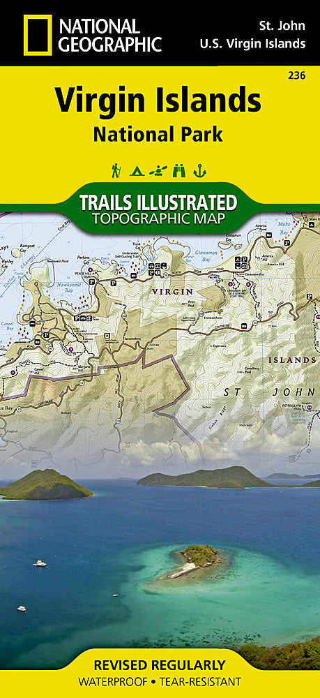
Virgin Islands National Park Trails Illustrated Topographic Map #236
Virgin Islands National Park Trails Illustrated Topographic Map #236
Couldn't load pickup availability
Share
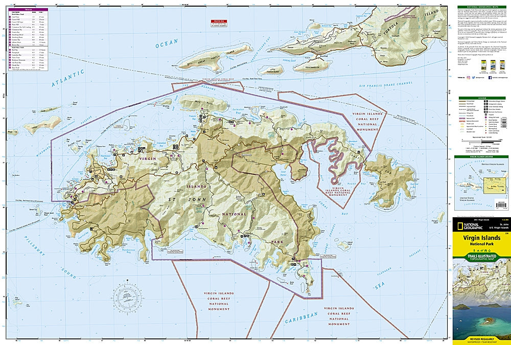
Step into paradise with National Geographic’s Virgin Islands National Park Trails Illustrated Topographic Map #236—the ultimate hiker’s companion to crystal-clear waters, swaying palms, and rugged island trails. From the iconic Trunk Bay, with its world-famous snorkeling reef, to the historic Annaberg Sugar Plantation ruins, where 18th-century history comes alive, and the breathtaking vistas atop Reef Bay Trail, this map guides you through every must-see corner of the park.
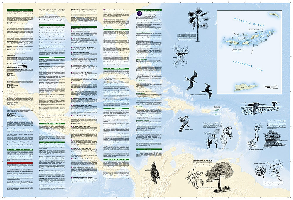
Designed in partnership with the National Park Service, it features detailed topography with contour lines, trail descriptions, lengths, and estimated hiking times so you can plan adventures suited to any skill level. Ferry routes, campsites, picnic areas, and pristine beaches are clearly marked, while coral reefs, birdwatching spots, and local flora illustrations make every hike rich with discovery. Printed on waterproof, tear-resistant paper with a full UTM grid, this map is built to brave the backcountry—and help you navigate it with confidence.
SKU: SKU:TRA236
View full details