International Travel Maps
Venezuela Travel & Reference Map by ITMB
Venezuela Travel & Reference Map by ITMB
Couldn't load pickup availability
Share
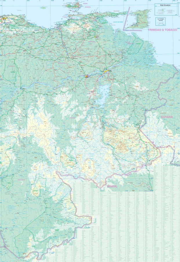
Venezuela is back on the map—literally! The ITMB Venezuela Travel & Reference Map is a double-sided, adventure-ready guide to one of South America’s most fascinating and geographically diverse countries. At a detailed 1:1,200,000 scale, this 27" x 39" Venezuela Travel Map covers the country from the Colombian border to the Guiana Shield, making it an essential reference for curious travelers, explorers, and map collectors.
Side 1 focuses on western Venezuela, while Side 2 takes you eastward with a little Guyana included. Keep an eye out for legendary attractions like Angel Falls, the world’s highest uninterrupted waterfall; Canaima National Park, famous for its spectacular tepui landscapes; and Lake Maracaibo, one of South America’s largest lakes. Venezuela gained independence from Spain in 1821 under Simón Bolívar’s revolutionary movement, and its landscapes remain as dramatic as its history.
The detailed legend includes highways, main roads, roads by classification, rivers, lakes, national parks, airports, points of interest, and more. After years of turmoil, Venezuela remains a remarkably beautiful country—and this map is an important reminder that it deserves to be explored again.
SKU: SKU:ITMVEN
View full details