1
/
of
2
Muir Way
US West 1950 Relief Map
US West 1950 Relief Map
Regular price
$89.00 USD
Regular price
Sale price
$89.00 USD
Unit price
/
per
Couldn't load pickup availability
Share
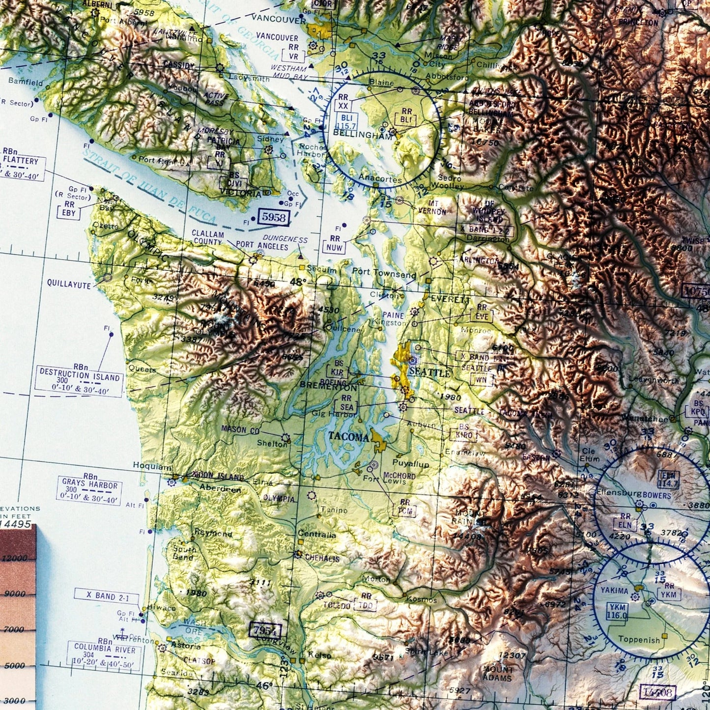
Created by Muir Way - This 18" x 28" map of the Western United States is based on aeronautical charts from 1950, and has been combined with Digital Elevation Data to give the map a unique appearance.
While this map looks exactly as a 3D Raised Relief Map would, it's actually flat (we know, we were shocked at how much it looked like a 3D map too.) and much easier to frame than the old school raised relief maps.
Each Muir Way map is printed on top quality archival paper / ink and always custom printed to order. They also say their maps have a warranty of 100 years - we'll have to take their word for it!
SKU: SKU:MUIUSW1950R
View full details