Rand McNally
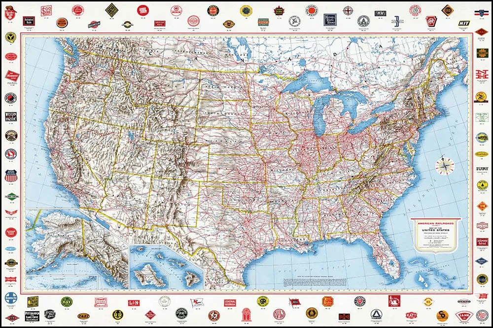
American Railroads Map, 1959
American Railroads Map, 1959
Couldn't load pickup availability
Share
Rand McNally’s American Railroads Map of the United States is a timeless piece of mid-20th-century American cartography, celebrated for its bold design, technical precision, and historical significance. Originally produced in 1959 for the Association of American Railroads, this vintage railroad map highlights the golden age of rail in the United States.
Surrounding the map’s border are logos from more than 90 American railroads, offering a fascinating snapshot of the industry during its peak. The detailed map displays all 50 U.S. states, along with portions of southern Canada and Mexico, with railroad routes prominently marked in red for easy viewing and visual impact.
Printed in full color, this mid-century modern U.S. map makes a striking statement in any space. It’s an ideal wall décor choice for a home office, study, living room, library, or corporate conference room.
The full print measures 36" x 24" (a standard frame size). Maps are printed on heavyweight, premium coated paper with a smooth, bright white, matte finish. Each print ships rolled in a sturdy cardboard tube, ready for framing.
Perfect for railroad historians, map collectors, history enthusiasts, or anyone seeking to add vintage charm and Americana style to their interior décor.
SKU: SKU:RMCVRR
View full details