National Forest Service
Umpqua National Forest - Diamond Lake Ranger District USFS Map
Umpqua National Forest - Diamond Lake Ranger District USFS Map
Couldn't load pickup availability
Share
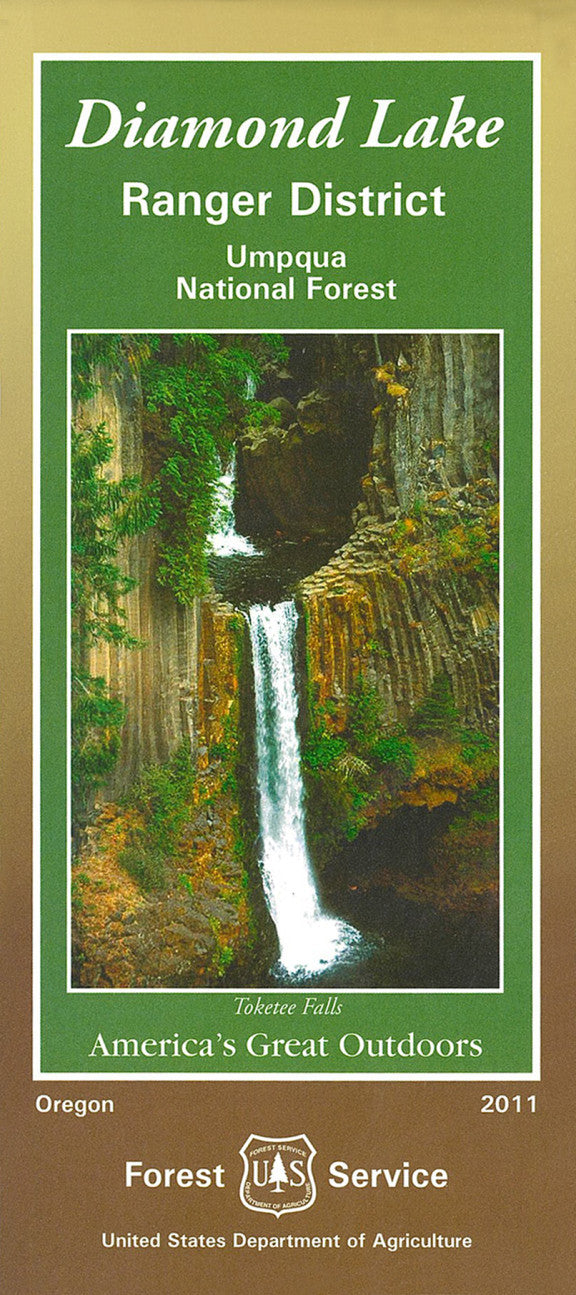
Discover the natural beauty of Oregon’s Umpqua National Forest with the Diamond Lake Ranger District Forest Service Map. Spanning 983,129 acres in the southern Cascades, this historic forest was established in 1908 and remains a paradise for outdoor enthusiasts.
Explore iconic destinations like Diamond Lake, the stunning Toketee Falls, and the awe-inspiring Mt. Thielsen. The forest teems with Douglas fir, western hemlock, and vibrant wildflowers, providing habitat for Roosevelt elk, black bears, and bald eagles. Located just north of Crater Lake National Park, the Umpqua offers year-round adventure—hiking, fishing, skiing, and more.
This detailed map helps you navigate trails, campgrounds, and scenic byways, making trip planning easy and rewarding. Whether you’re a seasoned explorer or first-time visitor, the Umpqua National Forest beckons with unforgettable experiences. Plan your visit today!
SKU: SKU:NFORDLRD
View full details