National Forest Service
Umatilla National Forest - Pomeroy Ranger District Forest Service Map
Umatilla National Forest - Pomeroy Ranger District Forest Service Map
Couldn't load pickup availability
Share
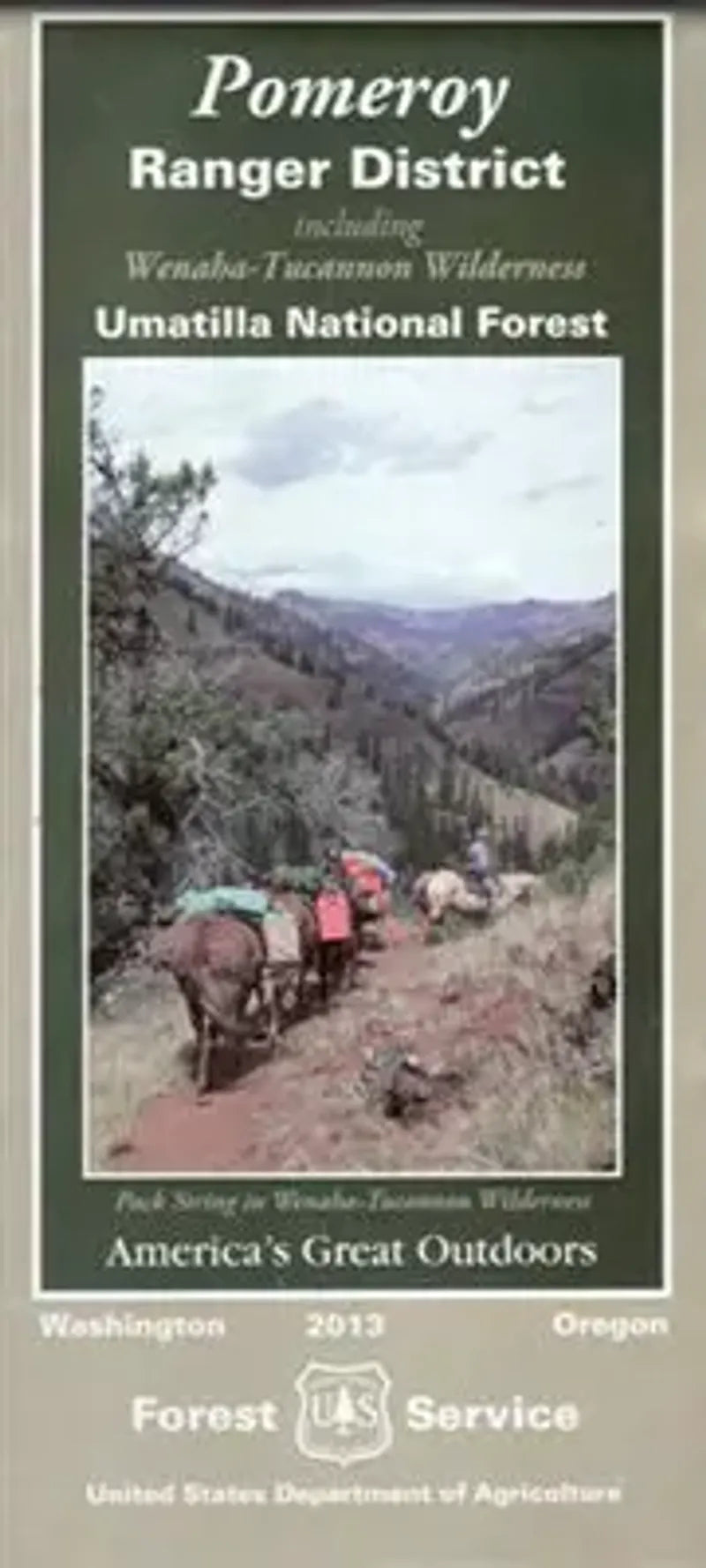
Explore the wild heart of the Blue Mountains with the Pomeroy Ranger District Forest Service Map—your gateway to over 350 miles of hiking and horseback trails and 50+ miles of thrilling motorized routes. Nestled in the southeast corner of Washington and stretching into northeast Oregon, this section of the Umatilla National Forest features the pristine Wenaha-Tucannon Wilderness, known for its deep canyons, high ridgelines, and abundant wildlife. Spot elk, black bears, and soaring bald eagles, or marvel at lush forests of Douglas fir, larch, and subalpine wildflowers.
Visit the scenic Godman Guard Station, the exhilarating Wenaha River Trail, and the panoramic Table Rock lookout. Covering nearly 365,000 acres, the Pomeroy Ranger District boasts a rich Native American and pioneer history. Whether you're trekking, riding, or exploring by ATV, this map helps you navigate the untamed beauty of the Pacific Northwest with confidence and adventure in every turn.
- Waterproof Map
- Topographic Lines
- 1" to the Mile
SKU: SKU:NFORPOMRD
View full details