National Forest Service
Umatilla National Forest - Heppner Ranger District Forest Service Map
Umatilla National Forest - Heppner Ranger District Forest Service Map
Couldn't load pickup availability
Share
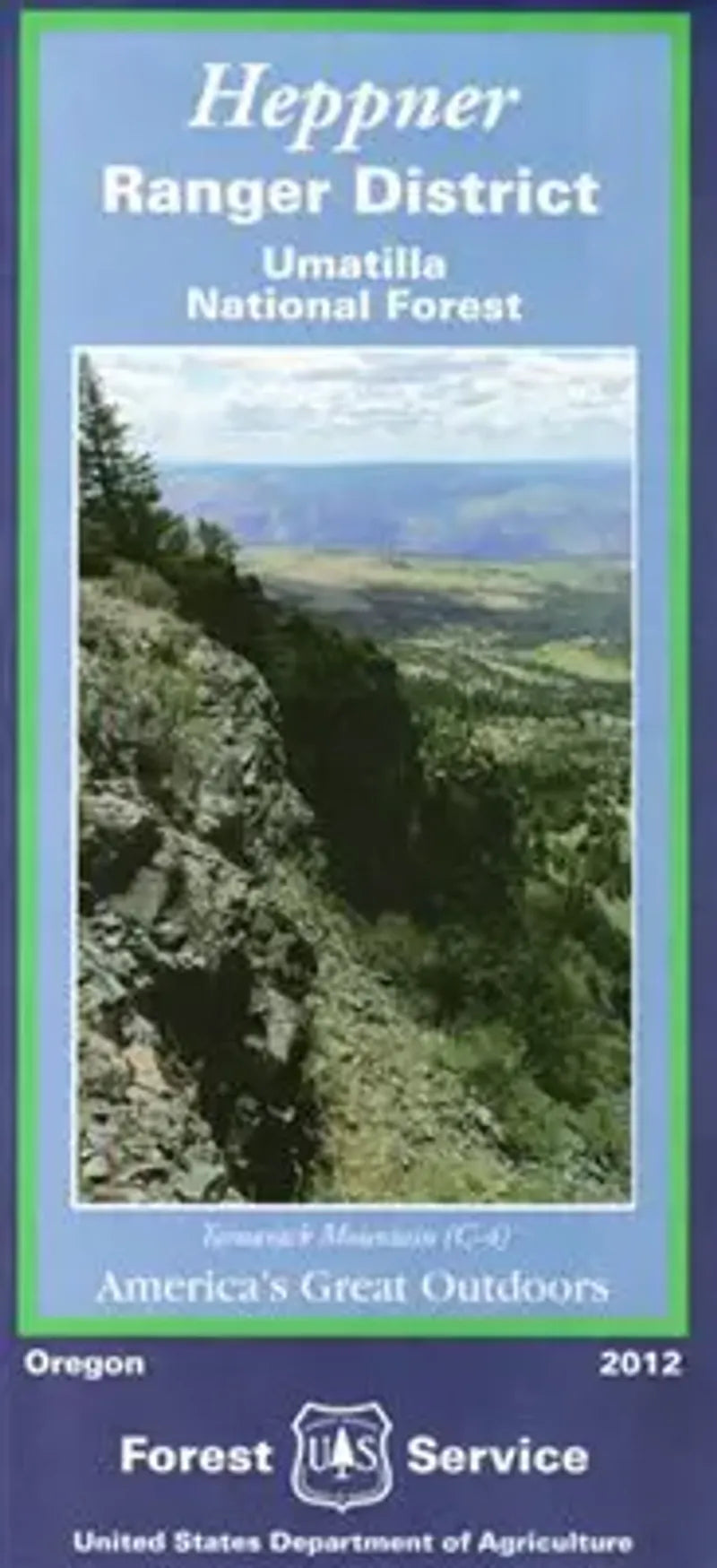
Discover the scenic beauty of Oregon’s Heppner Ranger District with the U.S. Forest Service Map in hand. Located in the northern Blue Mountains, this 280,000-acre district is part of the Umatilla National Forest.
Outdoor lovers flock to popular spots like Morrow County OHV Park, Cutsforth Park, and the Middle Fork of the John Day River, known for its vibrant salmon runs. Hike through forests of ponderosa pine and Douglas fir, where elk, deer, black bears, and wild turkeys roam. Rich in history, the region has roots in early Native American cultures and pioneer settlement.
Whether you’re planning a weekend adventure or an extended exploration, this map provides essential details on roads, trails, campgrounds, and natural attractions. Plan your visit to Heppner Ranger District—your gateway to Oregon’s wild, rugged beauty!
SKU: SKU:NFORHEPRD
View full details