National Forest Service
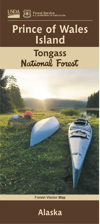
Tongass National Forest - Prince of Wales Island Forest Service Map
Tongass National Forest - Prince of Wales Island Forest Service Map
Couldn't load pickup availability
Share
Discover the wild beauty of Southeast Alaska with the Prince of Wales Island Forest Service Map—your guide to exploring America’s third-largest island. Nestled within the Tongass National Forest, this sprawling wilderness spans 135 miles long and 45 miles wide, offering untamed coastal landscapes and over 2,500 miles of shoreline.
Visit popular attractions like the El Capitan Caves, the majestic Thorne Bay, and the lush trails of Harris River. Rich forests of Sitka spruce and western hemlock shelter black bears, bald eagles, and Sitka black-tailed deer. Named by Captain George Vancouver in 1793, the Prince of Wales Archipelago includes hundreds of scenic islands, perfect for kayaking, fishing, hiking, and wildlife photography.
With a detailed 1” to 2-mile scale, this Forest Service map is an essential tool for planning your adventure. Whether you’re seeking solitude or scenery, Prince of Wales Island offers a true escape into Alaska’s natural wonders.
SKU: SKU:NFAKPWI
View full details