National Forest Service
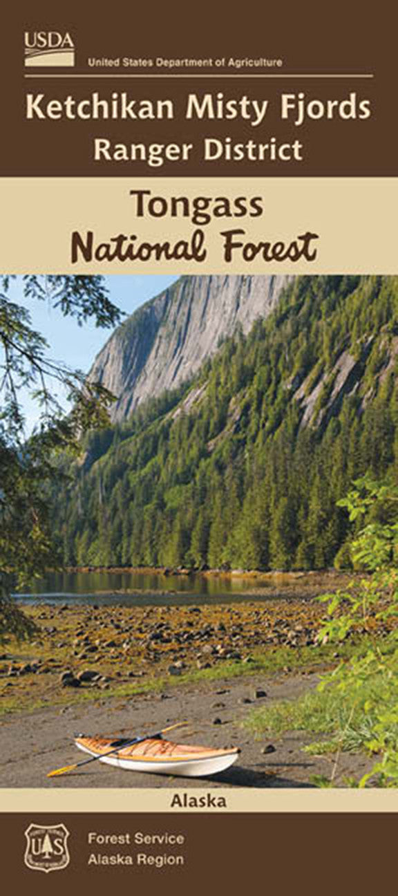
Tongass National Forest - Ketchikan Misty Fjords Ranger District Map
Tongass National Forest - Ketchikan Misty Fjords Ranger District Map
Couldn't load pickup availability
Share
The Ketchikan Misty Fjords Ranger District Map shows a region within the Tongass National Forest. This is a two sided map. One side shows the very southeastern tip of the Alaska Panhandle - the lands along the Portland Canal which form the US/ Canada border in this region. The map also follows along the Behm Canal and the Revillagigedo Channel. This part includes the Misty Fjords National Monument - both the wilderness and non-wilderness portions. (Scale for this portion- 1:168.960, 3/8" = 1 mile)
The other side of the map shows the upper elbow of the Behm Canal, the rest of Revillagigedo Island, and the Cleveland Peninsula. (Scale for this portion- 1: 126.720, 1/2" = 1 mile)
And finally there is a larger scale inset for the Ketchikan area along the Tongass Narrows. (Scale for this portion- 1: 63,360, 1" = 1 mile)
- Topography shown with 250 foot contour intervals
- Waterproof Material
- Table of Public Recreation Sites and Trails
SKU: SKU:NFAKKETCHIKAN
View full details


