National Geographic
Titanic Folded Reference Map by National Geographic
Titanic Folded Reference Map by National Geographic
Couldn't load pickup availability
Share
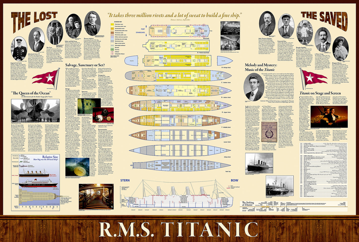
Step into a pivotal moment in history with this reproduction of National Geographic's "Titanic," originally published on the 100th anniversary of the sinking of the R.M.S. Titanic in 2012. This double-sided, full-color infographic depicts the details of Titanic's route, shipping lanes before and after the disaster, the journey of the fateful iceberg, charts and statistics from post-disaster hearings, inset map of ice and rescue ships, deep-ocean diagrams of the search process, Titanic points of interest, color-coded deck plans and cutaway view, passengers' profiles, ship size comparisons, the story in art and culture, and plans for the wreck's future.
SKU: SKU:NGSHISTITANIC
View full details