Tom Harrison Maps
The Palisades Hiking Map by Tom Harrison
The Palisades Hiking Map by Tom Harrison
Couldn't load pickup availability
Share
Explore the rugged beauty of California’s High Sierra with The Palisades Hiking Map by Tom Harrison, your essential guide to alpine lakes, towering peaks, and unforgettable wilderness adventures! Whether you’re planning a challenging backpacking trip or a scenic day hike, this detailed topographic map helps you navigate some of the Sierra Nevada’s most spectacular terrain.
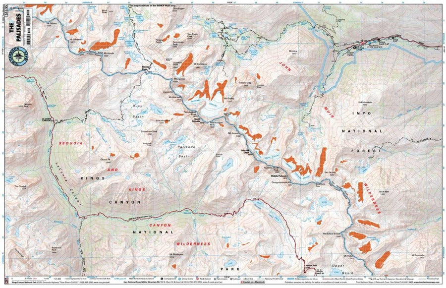
Covering the lakes basin below Palisade Glacier, this hiking map includes portions of the Pacific Crest Trail (PCT) and John Muir Trail (JMT) from Mather Pass to Le Conte Canyon, plus the Bishop Pass turnoff. Explore trails around Big Pine Creek and Glacier Lodge, with access to breathtaking mountain scenery and backcountry camping.
Watch for Sierra Nevada bighorn sheep, marmots, pikas, and black bears among alpine meadows, hardy wildflowers, and rugged talus slopes. Trail mileage, elevation points, glaciers, campgrounds, and trailheads help you plan with confidence.
Map details: 1:31,680 scale with 80-foot contour intervals, plus ranger stations, bear boxes, and access roads.
SKU: SKU:HARPALISADES
View full details