Rand McNally
Texas State Highway Folded Map by Rand McNally - Easy to Read
Texas State Highway Folded Map by Rand McNally - Easy to Read
Couldn't load pickup availability
Share
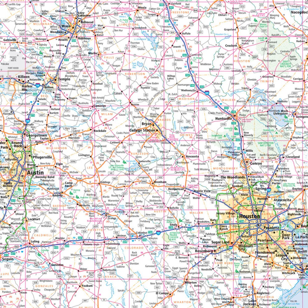
Hit the open road and explore the "Lone Star State" like a true adventurer with the Texas State Highway Folded Map by Rand McNally! Say goodbye to digital dead zones and tricky GPS signals—this map gives you instant, reliable access to every highway, county road, and hidden gem across Texas. Perfect for planning epic road trips, it highlights everything from bustling cities to scenic byways, including must-see spots like the quirky Marfa Lights, a mysterious attraction off the beaten path that will make your journey unforgettable.
Rand McNally’s Easy to Read design features larger type, a clear legend, and a detailed index, making it simple to locate parks, airports, county boundaries, and points of interest. With up-to-date, full-color coverage, mileage charts, and driving times, this durable folded map is a road trip essential for any traveler seeking adventure, discovery, and the freedom of the open Texas highway.
It’s accurate, handy, and ready to guide every mile.
SKU: SKU:RMCUSTX
View full details