Rand McNally
Tennessee State Highway Folded Map by Rand McNally - Easy to Read
Tennessee State Highway Folded Map by Rand McNally - Easy to Read
Couldn't load pickup availability
Share
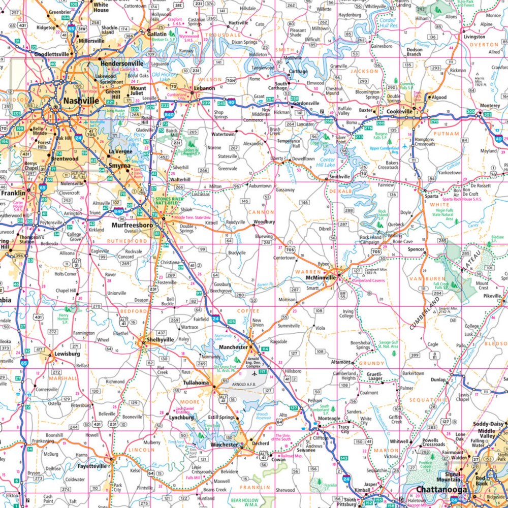
Hit the road and explore the "Volunteer State" like a true insider with the Tennessee State Highway Folded Map by Rand McNally! Perfect for planning your next road trip, this map makes it easy to see the best routes, calculate driving times, and discover hidden gems beyond the usual stops. Forget relying on your phone’s GPS—there’s nothing like a full-color, reliable paper map to guide your journey.
This easy-to-read map features clearly labeled Interstate, U.S., state, and county highways, plus parks, airports, points of interest, and county boundaries. The detailed index and simple legend get you where you need to go fast, whether it’s Nashville’s music scene, the Great Smoky Mountains, or the off-the-beaten-path Big South Fork National River & Recreation Area—a must-see for road trippers seeking adventure. Regularly updated and sized for convenience, it’s the ultimate travel companion for exploring Tennessee with confidence and ease.
SKU: SKU:RMCUSTN
View full details