National Geographic
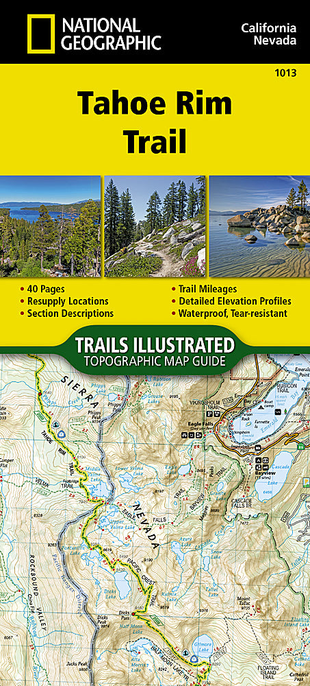
Tahoe Rim Trail Trails Illustrated Topographic Map Guide Booklet #1013
Tahoe Rim Trail Trails Illustrated Topographic Map Guide Booklet #1013
Couldn't load pickup availability
Share
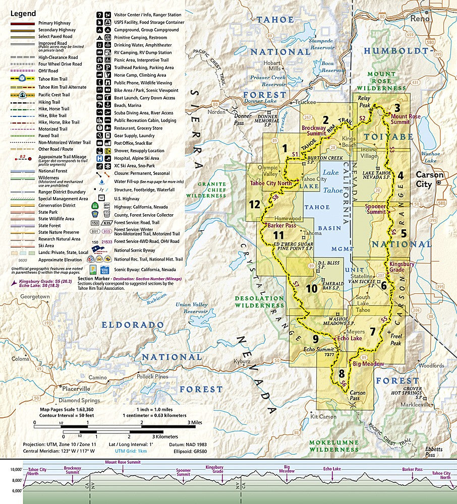
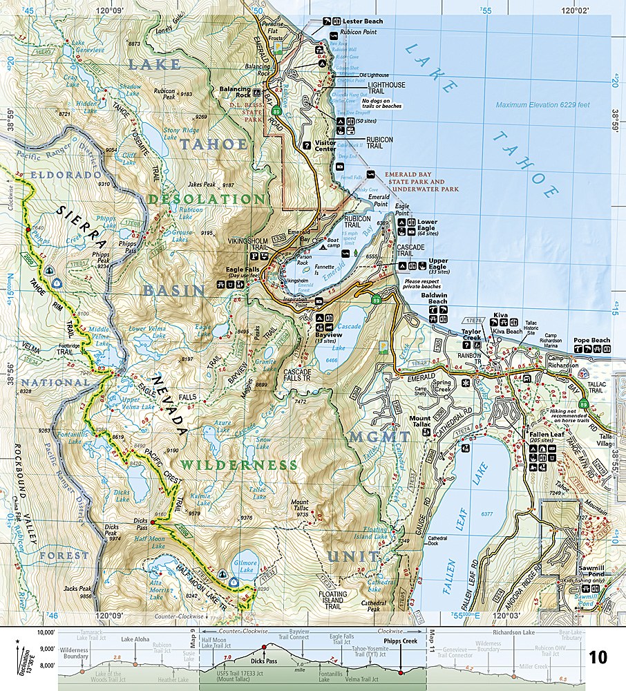
The Tahoe Rim Trail Trails Illustrated Topographic Map Guide Booklet #1013 shows the area of a great trail that circumnavigates Lake Tahoe in it's high alpine setting. Starting at Tahoe City on the NW side of the lake, it circles the area passing such landmarks as Mount Rose Summit, Spooner Summit, Kingsbury Grade, Echo Lake and Barker Pass. Each page shows the trail location and nearby road access points, plus a trail profile to indicate elevation gain and loss. Resupply locations are also noted for those whose goal is to hike the entire 175-mile loop. The highest point on this trail is Relay Peak at 10,398 feet and the total elevation gain on the entire trail is over 40,000 feet. Now that is rugged.
- 1" = 1 mile
- 1cm = .63 km
- Contour Interval 50 feet
SKU: SKU:TRA1013
View full details