National Geographic
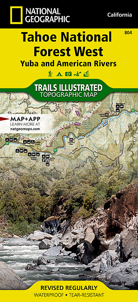
Tahoe National Forest West Trails Illustrated Topographic Map #804
Tahoe National Forest West Trails Illustrated Topographic Map #804
Couldn't load pickup availability
Share
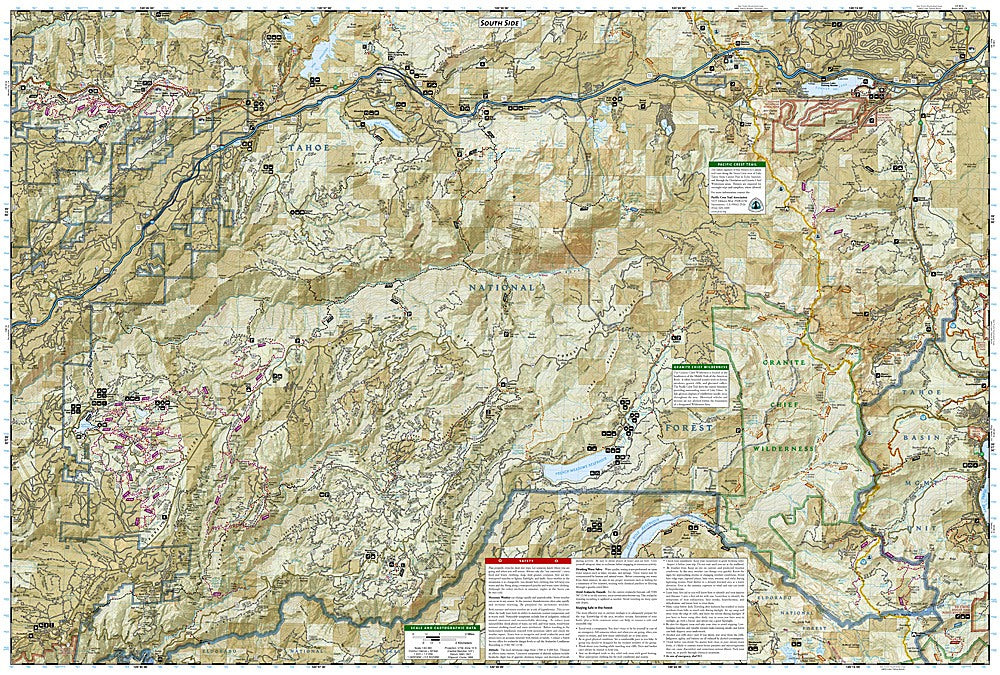
Discover adventure waiting around every bend with the Tahoe National Forest West Trails Illustrated Topographic Map #804 by National Geographic. Covering a slice of California’s Sierra Nevada, this waterproof, tear-resistant map is your trusted guide to some of the region’s most spectacular outdoor destinations. Explore the sparkling beauty of Donner Lake, hike through the towering pines of Grouse Ridge, or trek into the rugged Granite Chief Wilderness where alpine lakes and sweeping vistas await.
Rich in history, this area was once a critical corridor for Gold Rush pioneers and the transcontinental railroad, adding layers of story to every trail you step on. With clearly marked topographic detail, elevation contours, and trail mileage, this map helps you plan confidently whether you’re hiking, backpacking, camping, or exploring on horseback. Lightweight and pack-ready, it’s a must-have tool for anyone eager to experience the wild beauty and fascinating heritage of Tahoe’s western forestlands.
SKU: SKU:TRA804
View full details