1
/
of
2
National Geographic
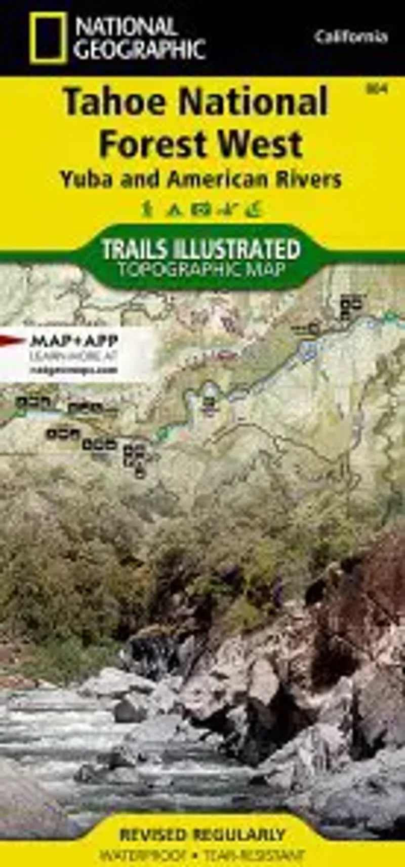
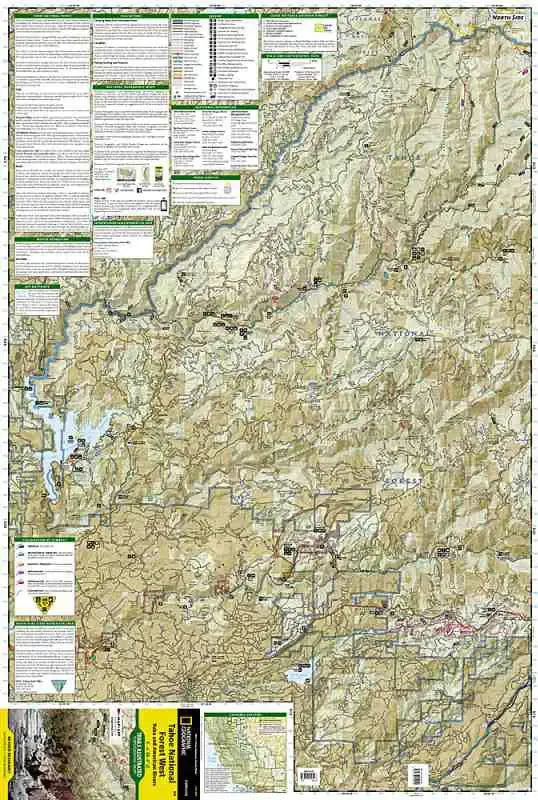
Tahoe National Forest West Map
Tahoe National Forest West Map
Regular price
$14.95 USD
Regular price
Sale price
$14.95 USD
Unit price
/
per
Couldn't load pickup availability
Share
This Tahoe National Forest with Yuba and American Rivers by Trails Illustrated is the most comprehensive recreational map for this region. The map shows all trails, campsites, and recreational features.
Coverage includes Granite Chief Wilderness, Pacific Crest National Scenic Trial, American (North Fork) Wild and Scenic River, Downieville, Hwy 49 Corridor, New Bullards Bar Res., Saddleback Mtn, Highway 20, Forest Divide, Sugar Pine Res., French Meadows Res., Lake Valley Res., Cascade Lakes, Squaw Valley. Towns: Nevada City, Camptonville, Downieville, Foresthill, Soda Springs. Other highlights: Donner National Scenic Byway, Malakoff Diggins State Historic Park.