National Forest Service
Tahoe National Forest Service Map
Tahoe National Forest Service Map
Couldn't load pickup availability
Share
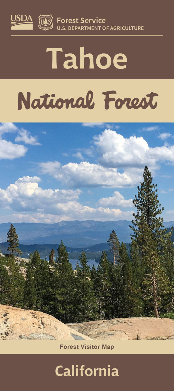
Discover the natural splendor of Northern California with the Tahoe National Forest Service Map. Covering over 850,000 acres of breathtaking Sierra Nevada wilderness, this waterproof, topographic map is your key to outdoor adventure.
Explore iconic destinations like the scenic Yuba River, the rugged Pacific Crest Trail, and Donner Summit—rich in pioneer history. Located between Lake Tahoe and the Sacramento Valley, the forest is home to black bears, mule deer, and bald eagles, along with lush groves of sugar pine and red fir. Once a Gold Rush hub, this area now offers hiking, biking, camping, and backcountry exploration.
Whether you're planning a day hike or a multi-day trek, this detailed map includes latitude/longitude and UTM grids to guide your journey. Perfect for nature lovers, history buffs, and weekend wanderers—plan your next adventure today with the Tahoe National Forest Map!
- Waterproof Map
- Shaded Relief style
SKU: SKU:NFCATA
View full details