National Geographic
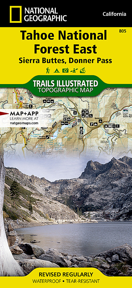
Tahoe National Forest East Trails Illustrated Topographic Map #805
Tahoe National Forest East Trails Illustrated Topographic Map #805
Couldn't load pickup availability
Share
Ready to hit the trails where alpine lakes, towering pines, and Gold Rush history meet? The Tahoe National Forest East Trails Illustrated Topographic Map #805 by National Geographic is your must-have guide for exploring one of California’s most adventurous playgrounds.
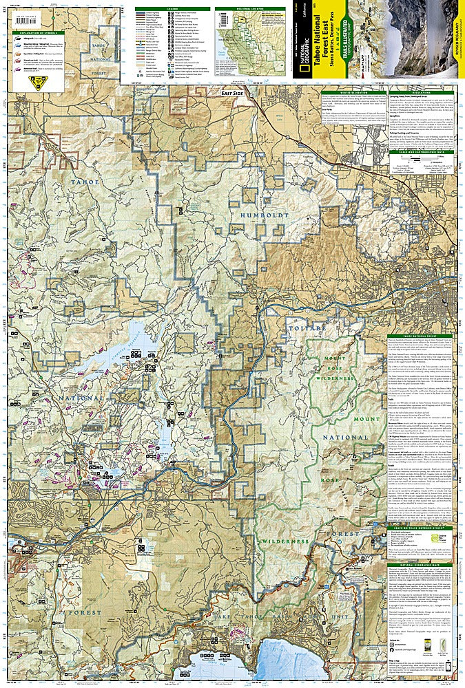
Covering the eastern portion of Tahoe National Forest, this waterproof, tear-resistant map details hiking, biking, and backcountry routes with precision. Discover Donner Lake, famous for its striking beauty and historic pioneer story. Trek through the Granite Chief Wilderness, where rugged peaks and wildflower meadows make every mile memorable. Or enjoy crisp mountain air along the Yuba River, once a hub of 19th-century gold miners.
With easy-to-read contour lines, UTM and latitude/longitude grids, and clearly marked recreation sites, you’ll navigate confidently from trailhead to summit. Whether you’re chasing waterfalls, backpacking the Sierra Nevada, or day-hiking with family, this map is your ultimate adventure companion. Rugged, reliable, and ready for your next outing.
SKU: SKU:TRA805
View full details