NOAA
Tacoma Harbor Nautical Chart #18453
Tacoma Harbor Nautical Chart #18453
Couldn't load pickup availability
Share
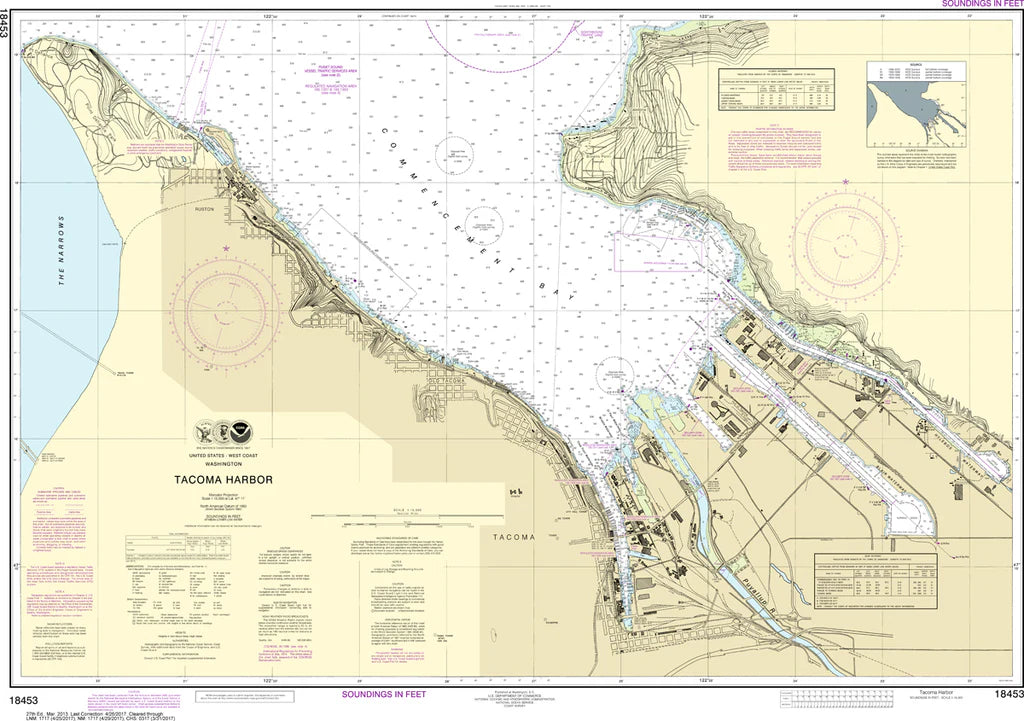
Tacoma Harbor Nautical Chart #18453 is your gateway to one of the Pacific Northwest's busiest and most fascinating waterways! Whether you're a passionate mariner, chart collector, or coastal history buff, this detailed nautical chart brings Tacoma's vibrant waterfront to life.
Covering Tacoma Harbor, Commencement Bay, City Waterway, Hylebos Waterway, Blair Waterway, Thea Foss Waterway, and surrounding shoreline, this chart showcases the intricate channels, docks, navigation aids, soundings, and waterfront landmarks that have guided vessels for generations. Tacoma has been a major maritime gateway since the late 1800s, when it became the western terminus of the Northern Pacific Railroad, helping transform the city into a thriving international shipping port.
Printed at a precise 1:15,000 scale and measuring a generous 40" x 29", this NOAA nautical chart offers outstanding detail whether displayed on your wall or used as a coastal reference.
(View more detail in nautical chart viewer)
Please note: For decorative and reference purposes only, NOAA has officially sunset traditional paper nautical charts. These legacy charts are no longer updated or approved for primary navigation.
SKU: SKU:NOS18453
View full details