Freytag & Berndt
Sweden Southeast Road Map by Freytag & Berndt
Sweden Southeast Road Map by Freytag & Berndt
Couldn't load pickup availability
Share
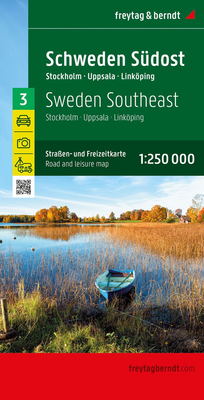
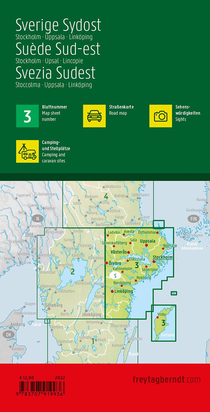
Explore the natural beauty and cultural richness of southeast Sweden with Freytag & Berndt’s Sweden Southeast Road Map, #3 in a five-map series. At a detailed 1:250,000 scale, this folded map covers the coastal wonders of Kalmar, the enchanting Öland Island, and the serene landscapes of Småland—home of iconic red cottages and the birthplace of famed author Astrid Lindgren. Navigate to the historic Kalmar Castle, a 12th-century stronghold tied to the Kalmar Union, or venture across the Öland Bridge to explore Borgholm’s castle ruins and the UNESCO-listed Stora Alvaret limestone plain.
Whether you're road-tripping by car, motorcycle, or campervan, the map clearly displays road classifications, distances, railways, airports, and ferry routes—perfect for seamless travel planning. An extensive place name index helps you find your way to both major hubs and off-the-beaten-path gems. From quaint coastal villages to ancient fortresses, this map brings Sweden’s southeastern charm into your hands.
SKU: SKU:MAPFBSWE3
View full details