National Geographic
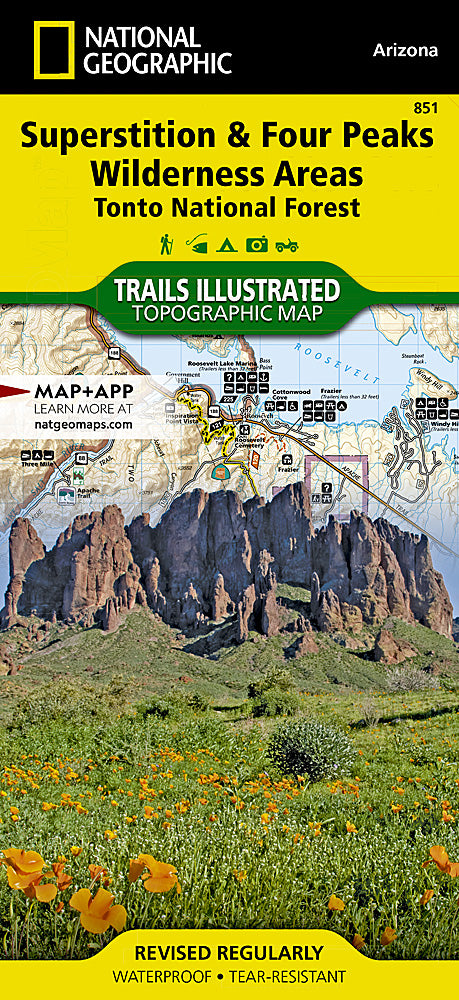
Superstition & Four Peaks Wilderness Areas Trails Illustrated Map #851
Superstition & Four Peaks Wilderness Areas Trails Illustrated Map #851
Couldn't load pickup availability
Share
Get ready to explore Arizona’s most rugged and scenic landscapes with the Superstition & Four Peaks Wilderness Areas Trails Illustrated Topographic Map #851 by National Geographic! Whether you’re chasing panoramic desert vistas, hidden canyons, or legendary hiking trails, this map is your ultimate adventure companion.
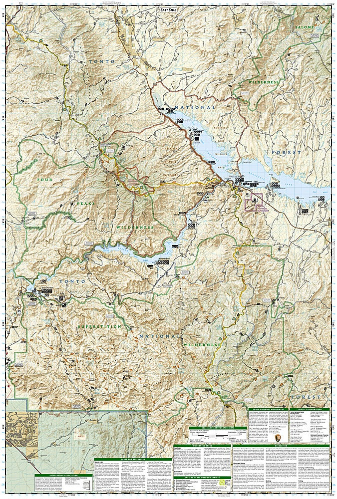
Covering the dramatic Superstition Mountains and the iconic Four Peaks range, it highlights must-see spots like Weaver’s Needle, the Lost Dutchman Gold Mine area, and the serene Canyon Lake trails. Hikers can navigate with confidence using detailed topography, trail routes, elevation contours, and lat/long grids. Steeped in history, these areas are known for Apache legends, early gold rush lore, and centuries of Southwestern heritage.
Waterproof and durable, this Trails Illustrated map ensures you stay on track through Sonoran Desert landscapes, rugged ridgelines, and sparkling waterways. Perfect for day hikes or multi-day excursions, it’s a must-have for every outdoor enthusiast exploring central Arizona’s wild heart.
SKU: SKU:TRA851
View full details