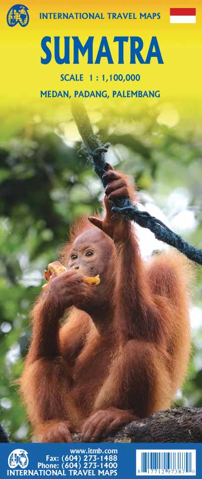
International Travel Maps
Sumatra Travel & Reference Map by ITMB
Sumatra Travel & Reference Map by ITMB
Couldn't load pickup availability
Share
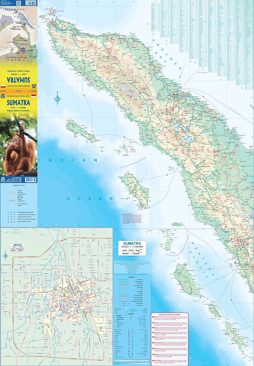
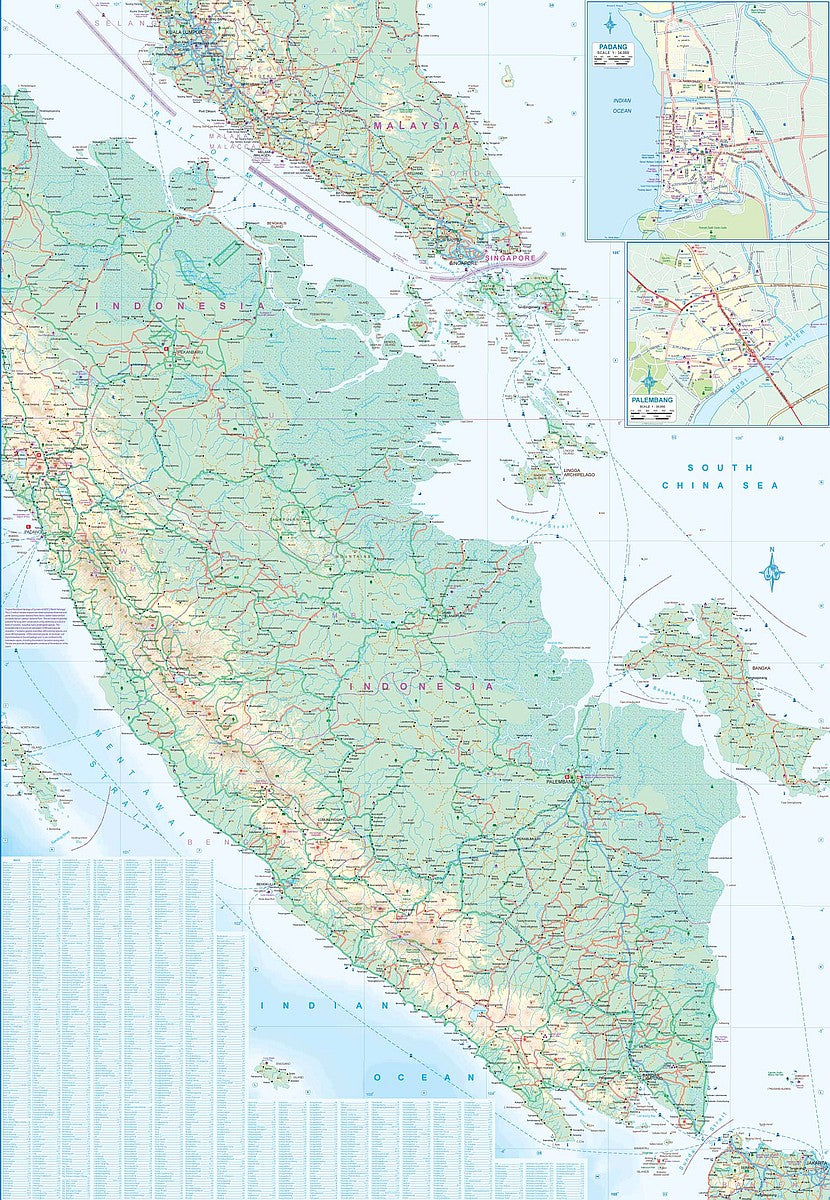
Set your sights on adventure with ITMB’s double-sided, folded Sumatra Travel & Reference Map, scaled at 1:1,100,000. From the vibrant streets of Medan to the natural wonder of Lake Toba and the steamy jungles of Gunung Leuser National Park, Sumatra bursts with untamed beauty and cultural treasures.
Side 1 features the island’s northern half, including detailed mapping of Medan and nearby offshore islands, plus a handy Top Attractions list. Side 2 unveils the southern regions, complete with insets of Padang and Palembang, and ferry routes linking you to Java, Singapore, and Malaysia.
Whether you're winding along the western highway or venturing into the less-traveled eastern lands, this map has you covered with its detailed legends highlighting everything from national parks to airports. With easy international access from Singapore and Malaysia, Sumatra is calling. Unfold the possibilities and dive into the heart of one of Indonesia’s most captivating destinations.
SKU: SKU:ITMSUM
View full details