NOAA
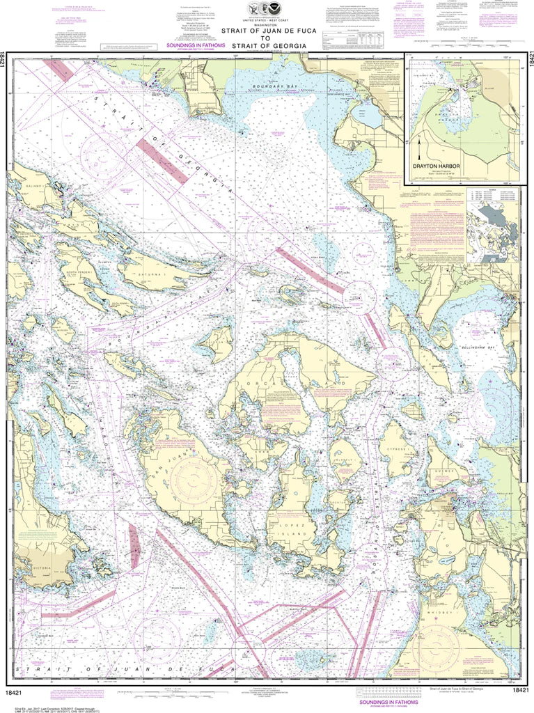
Strait of Juan de Fuca to Strait of Georgia Nautical Chart #18421
Strait of Juan de Fuca to Strait of Georgia Nautical Chart #18421
Couldn't load pickup availability
Share
Chart the legendary gateway where the Pacific funnels into protected inland seas—this is Nautical Chart 18421 - Strait of Juan de Fuca to Strait of Georgia in stunning nautical detail. From storm-swept Cape Flattery and the entrance to Puget Sound, to the sheltered Gulf Islands and bustling waters off Victoria and Vancouver, every mile of this corridor comes alive. Covering the San Juan Islands, Haro Strait, Admiralty Inlet, and key shipping lanes, it captures one of North America’s most dynamic maritime passages.
Named for the 16th-century explorer Juan de Fuca and shaped by centuries of Indigenous Coast Salish navigation and British–Spanish maritime rivalry, this region is steeped in maritime history and trade. Printed at 35" x 48" with a 1:80,000 scale, it delivers exceptional coastal clarity for study or display.
A striking reference piece for mariners, historians, and Pacific Northwest enthusiasts alike.
Perfect for wall display, navigation study, coastal planning, and collectors seeking a detailed, authoritative Pacific Northwest maritime reference chart edition ready today.
(View more detail in nautical chart viewer)
Please note: For decorative and reference purposes only, NOAA has officially sunset traditional paper nautical charts. These legacy charts are no longer updated or approved for primary navigation.
SKU: SKU:NOS18421
View full details