NOAA
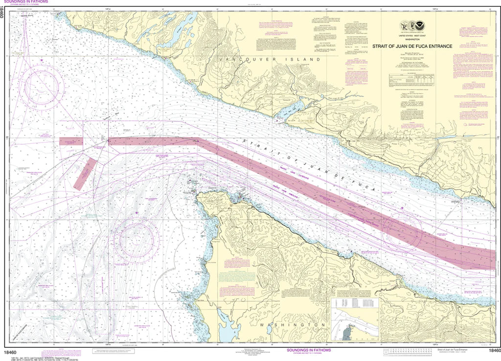
Strait of Juan de Fuca Entrance Nautical Chart #18460
Strait of Juan de Fuca Entrance Nautical Chart #18460
Couldn't load pickup availability
Share
Chart a course through one of the Pacific Northwest's most legendary waterways! The Strait of Juan de Fuca Entrance Nautical Chart #18460 delivers a spectacular look at the gateway between the Pacific Ocean and the Salish Sea, making it a must-have for boaters, history buffs, and coastal map collectors alike.
Covering the dramatic entrance to the Strait of Juan de Fuca, this chart features the rugged coastline of Cape Flattery, the waters surrounding Tatoosh Island, Neah Bay, and extends westward into the open Pacific where powerful ocean swells meet inland waters. It's an excellent reference for exploring one of North America's most scenic marine corridors. The chart measures a generous 46" x 33" with a detailed 1:100,000 scale, offering impressive clarity for display or study.
This remarkable waterway was named after the Greek navigator Juan de Fuca, whose 1592 voyage helped inspire centuries of exploration along the Pacific Northwest coast, making the region an enduring landmark in maritime history.
(View more detail in nautical chart viewer)
Please note: For decorative and reference purposes only, NOAA has officially sunset traditional paper nautical charts. These legacy charts are no longer updated or approved for primary navigation.
SKU: SKU:NOS18460
View full details