NOAA
Strait of Juan de Fuca Approaches Nautical Chart #18480
Strait of Juan de Fuca Approaches Nautical Chart #18480
Couldn't load pickup availability
Share
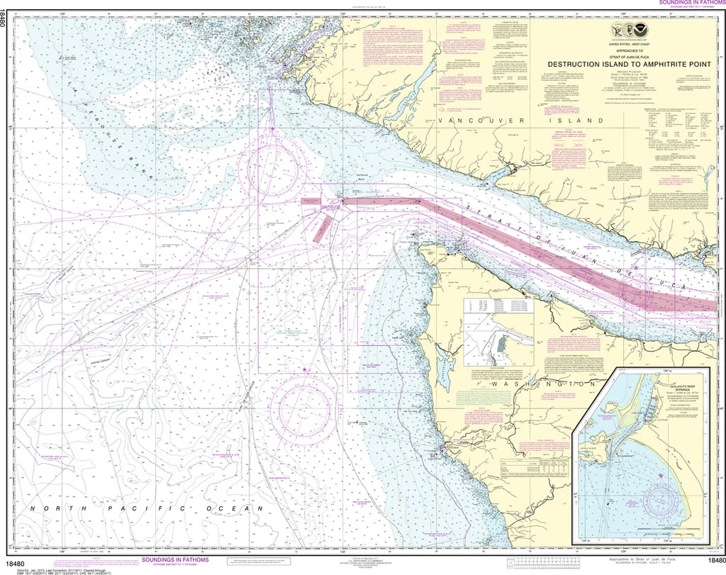
Chart a course for adventure with the Strait of Juan de Fuca Approaches Nautical Chart #18480! Whether you're a mariner, history buff, coastal explorer, or collector, this impressive NOAA chart brings one of the Pacific Northwest's most iconic stretches of coastline to life.
This detailed nautical chart covers the rugged northwest coast of Washington and the southern shoreline of Vancouver Island from Destruction Island to Amphitrite Point. Also includes legendary Cape Flattery, the dramatic approaches to the Strait of Juan de Fuca, and a detailed inset of the La Push area. Measuring a generous 44" x 35" at a 1:176,253 scale, it offers an outstanding overview of this spectacular maritime region for display and reference.
The Strait of Juan de Fuca has served as a vital gateway between the Pacific Ocean and the Salish Sea for centuries. Named after the Greek navigator Juan de Fuca, who claimed to have sailed these waters in 1592, the strait later became a crucial route for explorers, traders, and modern shipping vessels navigating the Pacific Northwest.
(View more detail in nautical chart viewer)
Please note: For decorative and reference purposes only, NOAA has officially sunset traditional paper nautical charts. These legacy charts are no longer updated or approved for primary navigation.
SKU: SKU:NOS18480
View full details