1
/
of
1
National Forest Service
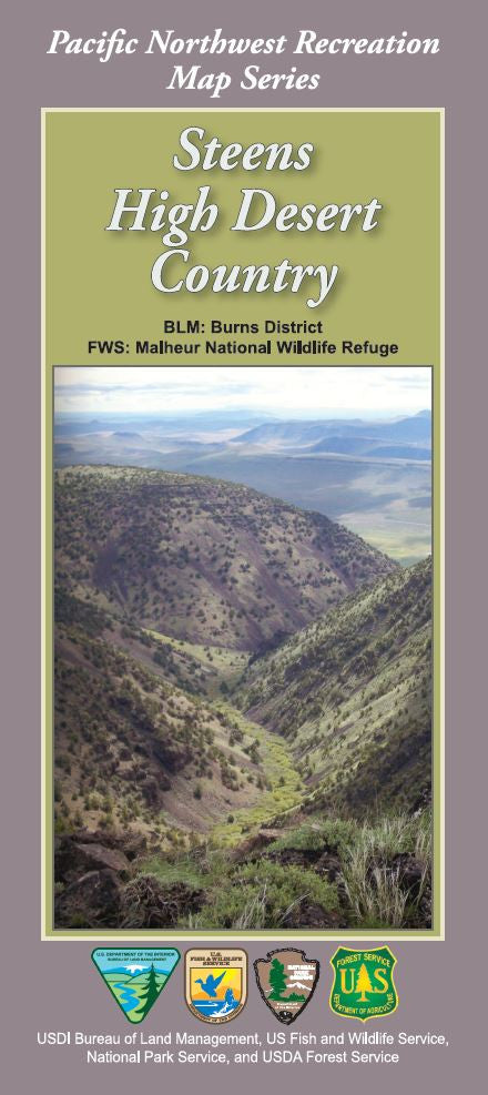
Steens High Desert Country Recreation Forest Service Map
Steens High Desert Country Recreation Forest Service Map
Regular price
$19.95 USD
Regular price
Sale price
$19.95 USD
Unit price
/
per
Couldn't load pickup availability
Share
Discover the wild beauty of southeastern Oregon with the Steens High Desert Country Forest Service Map, part of the Pacific Northwest Recreation Map series. Centered on the massive 30-mile-long Steens Mountain—one of the largest fault-block mountains in North America—this map guides you through over 500,000 acres of awe-inspiring high desert terrain.
Explore iconic sites like the dramatic Kiger Gorge, the colorful Alvord Desert, and the remote Wildhorse Lake. Keep your eyes out for pronghorn, bighorn sheep, golden eagles, and vibrant wildflowers dotting the sagebrush sea. This waterproof topographic map includes detailed roads, trails, rivers, lakes, campsites, and historic routes like the Oregon Trail.
Located in Harney County, near the town of Burns, Steens Mountain’s blend of rugged wilderness and rich cultural history invites backcountry hikers, bikers, and nature lovers alike. Grab your map and get ready to experience one of Oregon’s most underrated natural treasures.
SKU: SKU:NFORSTE
View full details


