Ordnance Survey
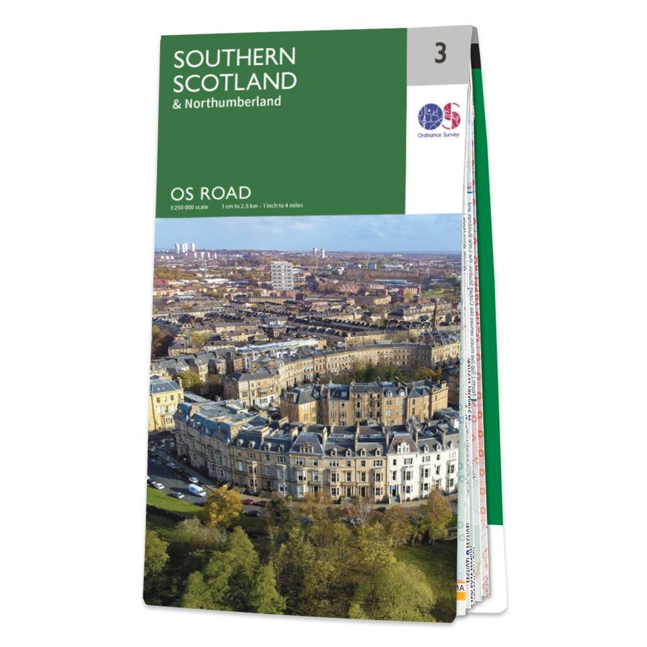
Southern Scotland Road & Reference Map by Ordnance Survey
Southern Scotland Road & Reference Map by Ordnance Survey
Couldn't load pickup availability
Share
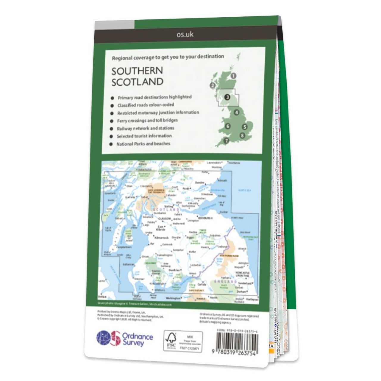
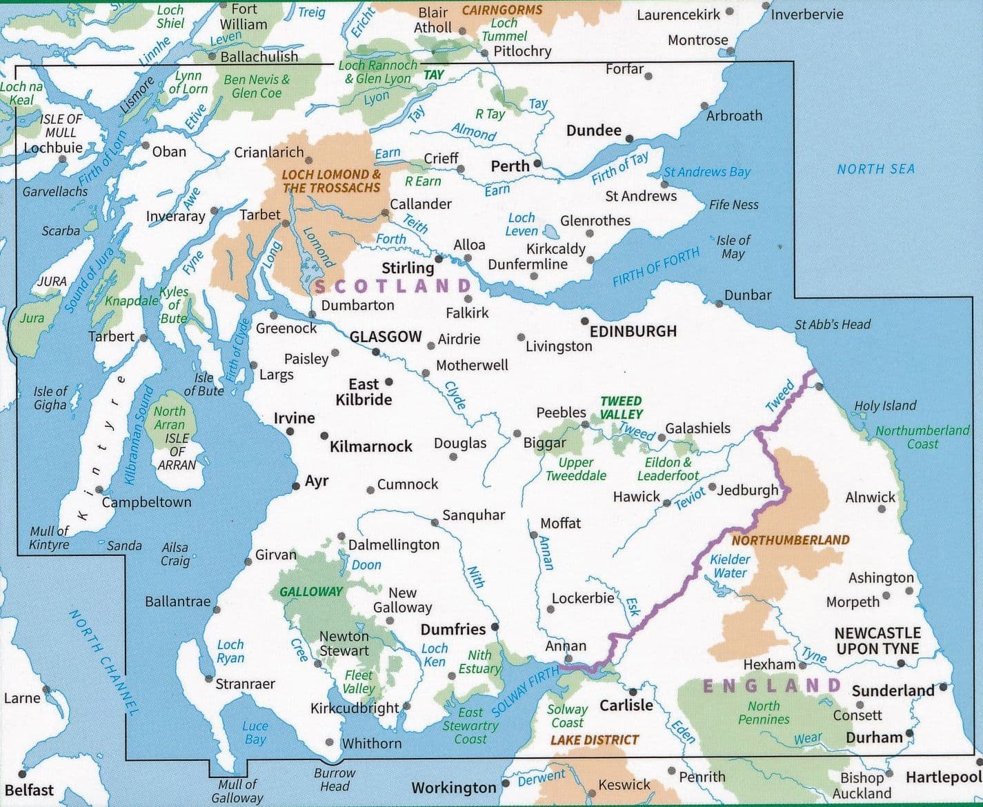
Discover the rugged charm and scenic wonders of southern Scotland with the Ordnance Survey Southern Scotland Road Map. At a detailed 1:250,000 scale, this map is your perfect companion for road trips and cycling adventures. Covering the rolling Borders, Dumfries and Galloway, and stretching into Northumberland, it highlights all major roads, railways, and ferry routes along with cities, towns, and select points of interest.
Plan your route past dramatic hillscapes and tranquil lochs with the map's contours and hill shading that bring the landscape to life. Explore the haunting ruins of Sweetheart Abbey, delve into the mysterious beauty of the Galloway Forest Park—the UK’s first Dark Sky Park—or take in panoramic views from the Cheviot Hills straddling the border with England.
Whether you're planning a leisurely drive or an epic cycling tour, this OS Road Map makes navigating the region both easy and inspiring.
SKU: SKU:MAPOSRM3
View full details