National Geographic
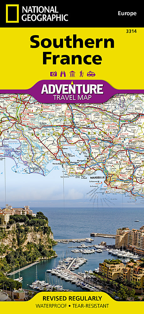
Southern France Adventure Travel Map by National Geographic
Southern France Adventure Travel Map by National Geographic
Couldn't load pickup availability
Share
Get ready to fall in love with Southern France—wine country, the Riviera, castles, beaches, and all! The Southern France Adventure Travel Map by National Geographic is your ticket to exploring one of Europe’s most dazzling destinations. Whether you’re road-tripping through Provence, hiking the Pyrenees, or lounging along the Côte d’Azur, this waterproof, tear-resistant map is built to travel as hard as you do.
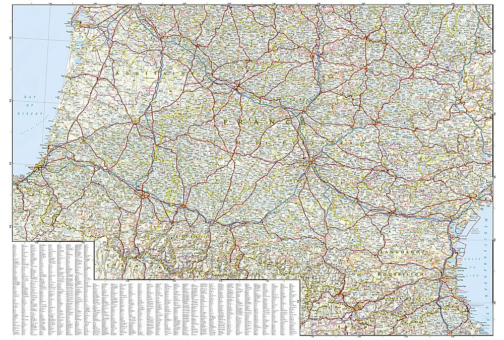
Packed with detail, it shows cities, towns, and a full road network with distances and scenic secondary routes for those who prefer detours through vineyards and hilltop villages. Discover national parks, ski resorts, golf courses, campsites, castles, and ancient ruins—plus practical info like airports, rail lines, and ferry routes. One side highlights the Riviera and eastern gems, while the other takes you west to the Bay of Biscay and the Pyrenees. This isn’t just a map—it’s your ultimate adventure companion.
ArticlesSKU: SKU:TRA3314
View full details