Ordnance Survey
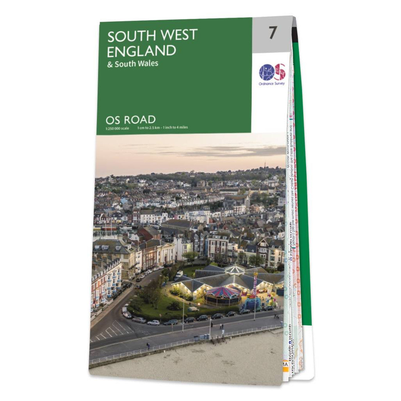
South West England Road & Reference Map by Ordnance Survey
South West England Road & Reference Map by Ordnance Survey
Couldn't load pickup availability
Share
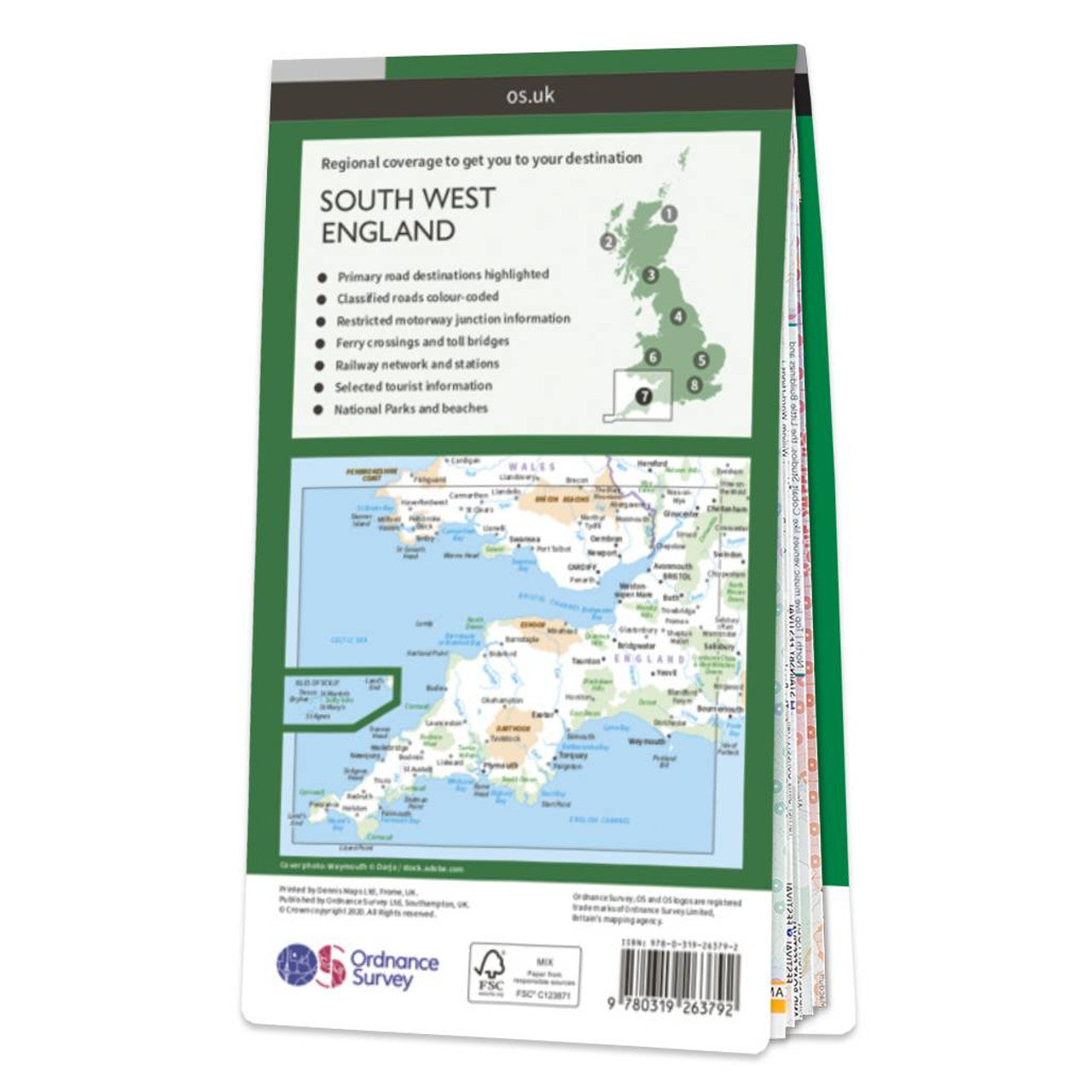
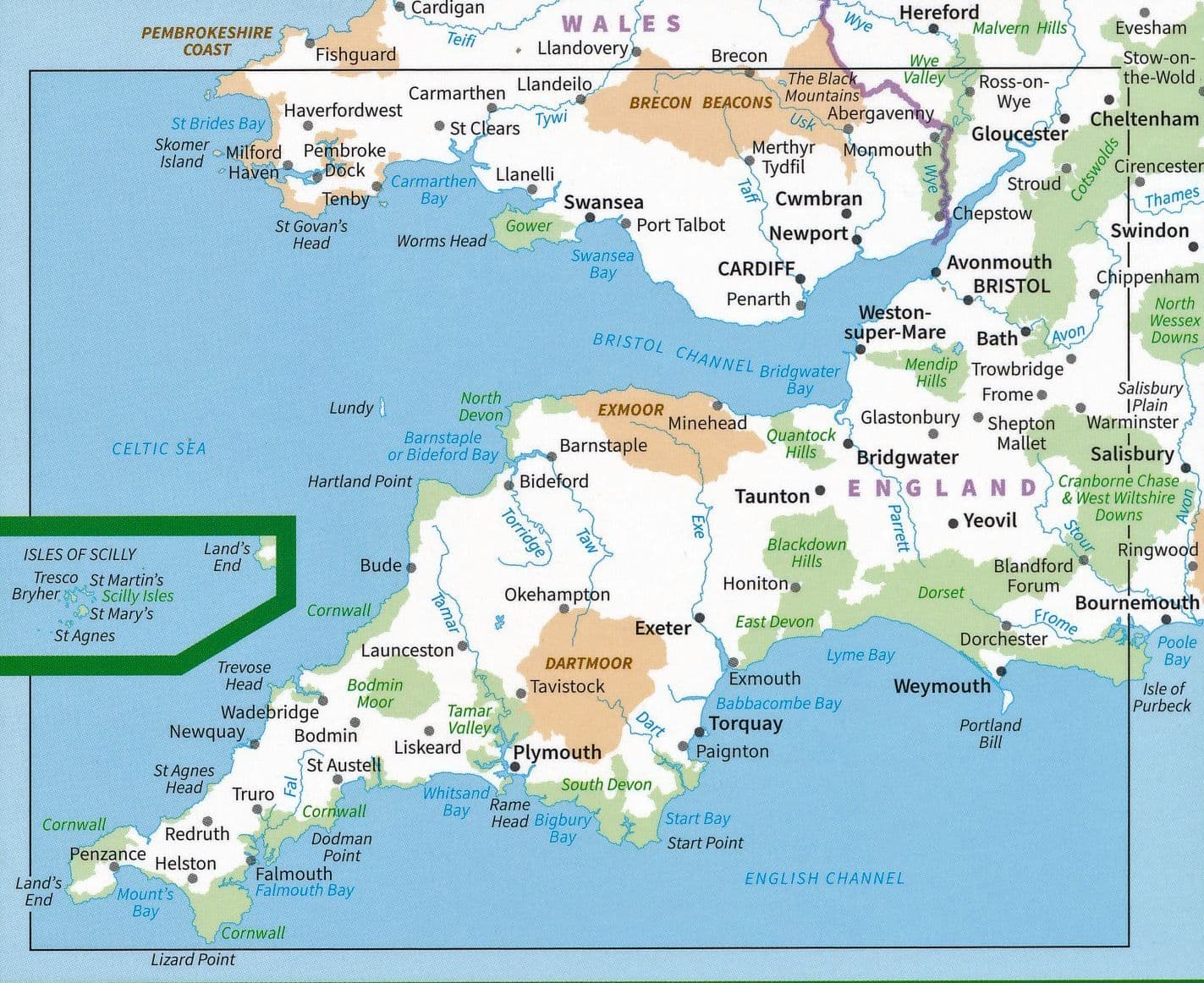
Explore the stunning landscapes of South West England with this detailed road map from Ordnance Survey, the national mapping agency for Great Britain. At a scale of 1:250,000, this map is perfect for planning scenic road trips or adventurous cycling routes.
Discover historic wonders like the mysterious stone circle of Avebury, or enjoy a seaside escape in the vibrant town of St Ives, known for its sandy beaches and art scene. Take in the wild beauty of Dartmoor National Park with its open moorlands and granite tors. The map features clear depictions of major roads, railways, ferry routes, cities, and towns, making it easy to navigate your journey. Contours and hill shading bring the landscape to life, helping you understand the terrain at a glance.
Whether you're cruising the coastline or cycling through the countryside, this Ordnance Survey road map is your trusted travel companion.
SKU: SKU:MAPOSRM7
View full details