Ordnance Survey
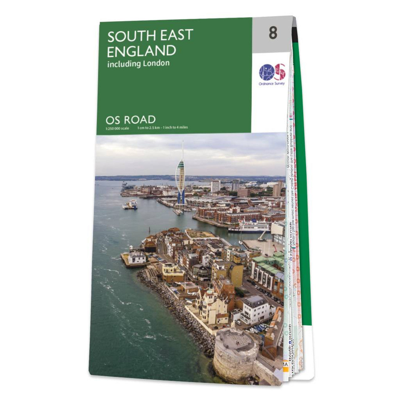
South East England Road & Reference Map by Ordnance Survey
South East England Road & Reference Map by Ordnance Survey
Couldn't load pickup availability
Share
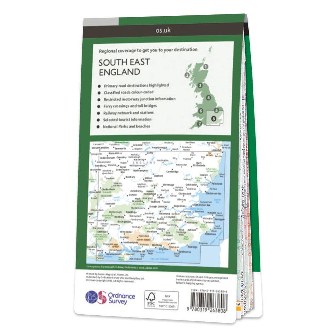
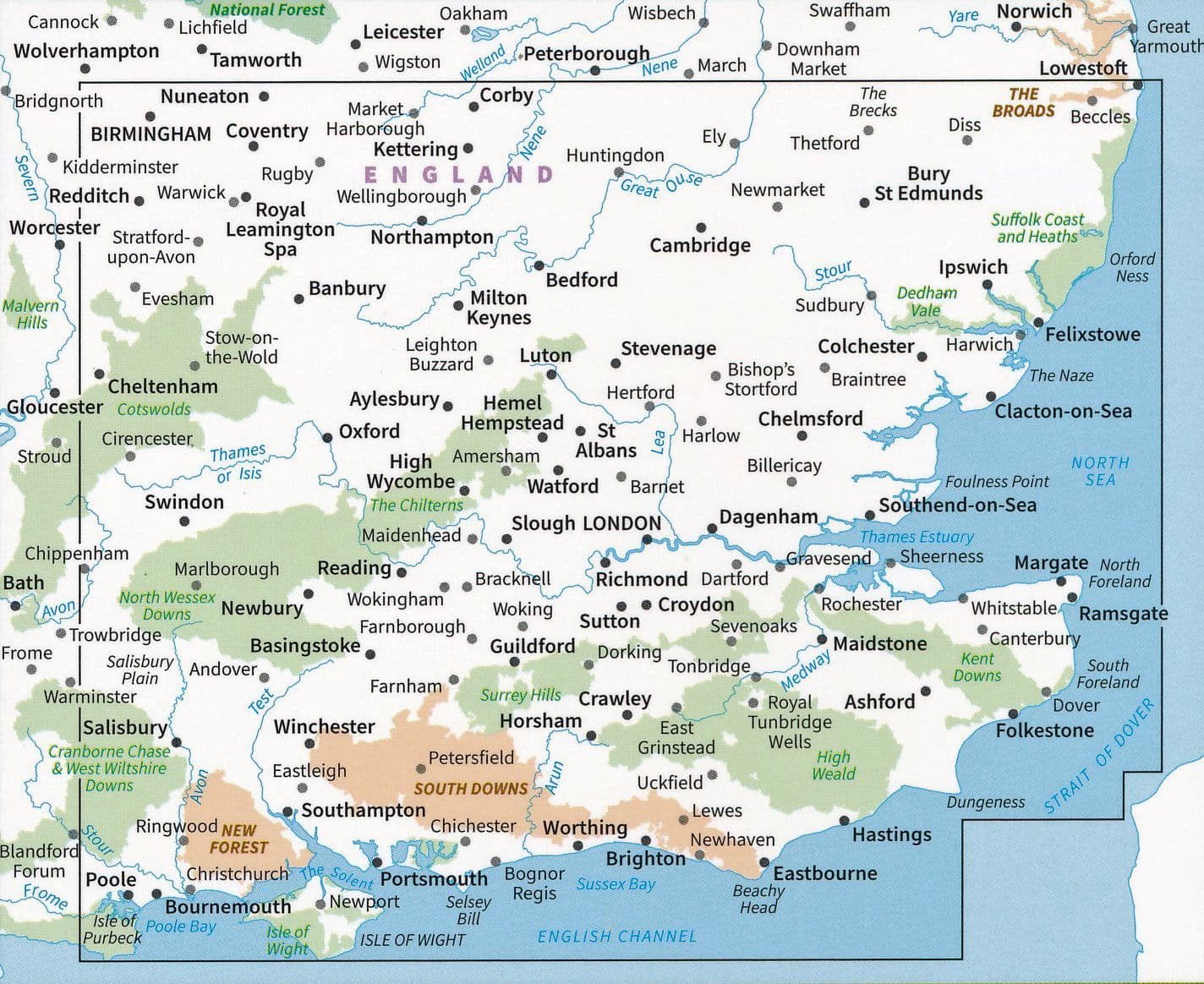
Discover the charm of South East England with this detailed road map from Ordnance Survey, the national mapping agency for Great Britain. At a scale of 1:250,000, it’s the perfect companion for planning scenic road trips or long-distance cycling adventures. This map covers all major roads, railways, ferry links, and key towns and cities—including vibrant London. Contours and hill shading bring the rolling countryside to life, making it easy to visualize the landscape as you travel.
Explore historic Canterbury with its iconic cathedral, lose yourself in the dreamy beauty of the South Downs, or marvel at the mysterious stone circle at Avebury. Whether you're heading to the coast or meandering through picturesque villages, this map provides everything you need for a memorable journey.
With clear, up-to-date information and a user-friendly layout, the South East England Road Map makes discovering this diverse region as enjoyable as the destinations themselves.
SKU: SKU:MAPOSRM8
View full details