Basin and Range Mapping
South Central Montana Wall Map
South Central Montana Wall Map
Couldn't load pickup availability
Share
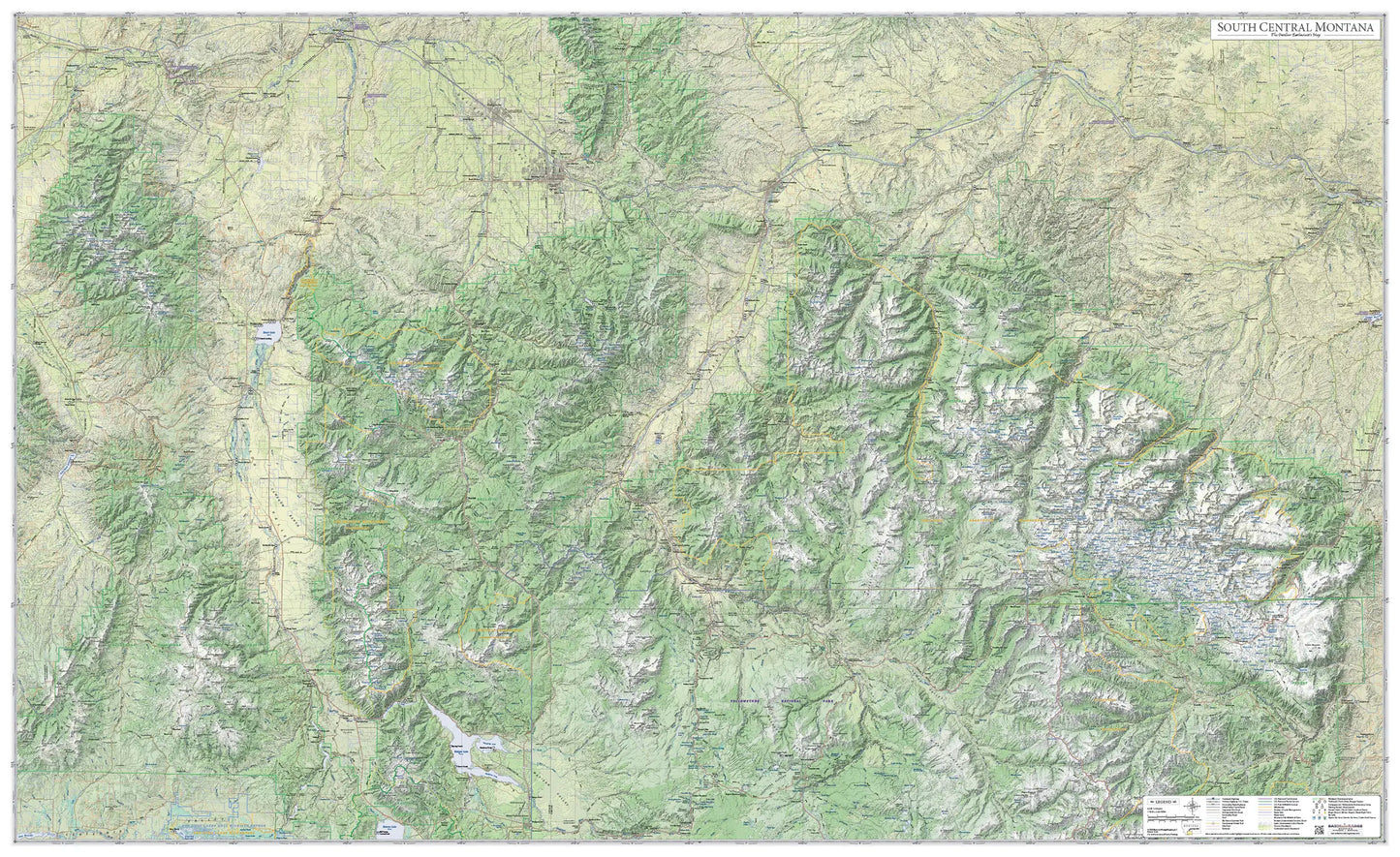
This map covers the Tobacco Root, Snowcrest, Gravelly, Madison, Gallatin, Bridger, Absaroka, and Beartooth Mountain Ranges. All of the Madison, Gallatin, and Stillwater Rivers are on the map, as well as the Yellowstone River from Canyon Village to Columbus. The top of the map is Missouri Headwaters State Park and the bottom is Madison Junction in Yellowstone. From east to west it covers from Red Lodge to Whitehall.
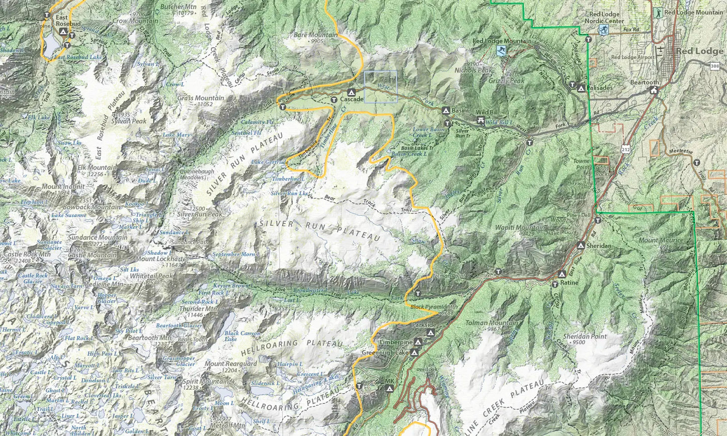
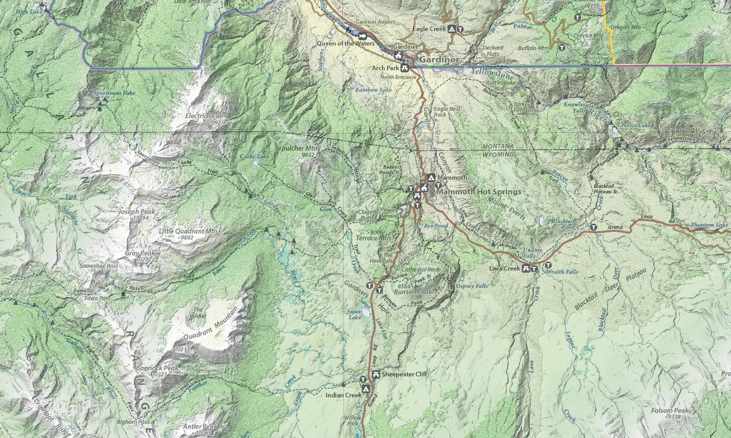
Every recreational site and area is shown: trailheads, picnic areas, campgrounds, fishing access sites, boat launch sites, and alpine and nordic ski areas. Every trail is shown, with the name of almost every trail as well.
The map is designed to have two different perspectives. From a distance the viewer sees only the landscape and major highways. But viewed close up the viewer sees thousands of individual items (named peaks, creeks, recreation sites, forest service roads, trails, etc.) not seen from a distance.
To give the map a three dimensional look, it uses hypsometric elevation coloring combined with shaded relief and six types of land cover: forest, sagebrush, cropland, grassland, wetland, and urban areas.
Size: 62" x 38"
Scale: 1:155,000
SKU: SKU:BRMSCMT
View full details