Rand McNally
South Carolina State Highway Folded Map by Rand McNally - Easy to Read
South Carolina State Highway Folded Map by Rand McNally - Easy to Read
Couldn't load pickup availability
Share
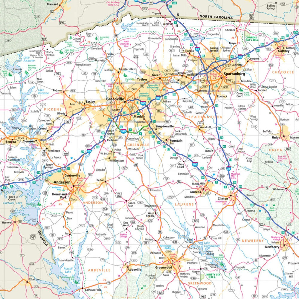
Hit the road through the "Palmetto State" with the South Carolina State Highway Folded Map by Rand McNally! Perfect for planning your next adventure, this easy-to-read map puts the power of navigation in your hands without relying on spotty cell service. Explore every corner of South Carolina, from bustling cities to hidden gems like Hunting Island State Park, a coastal treasure that’s a must-see for road trippers.
This full-color, regularly updated map covers all Interstate, U.S., state, and county highways, plus airports, parks, points of interest, and county lines, making it simple to plan your perfect route. The larger type size and intuitive legend make finding destinations a breeze, while the handy folded format fits neatly in your glove compartment. With mileage and driving times included, your South Carolina road trips will be easier, safer, and way more fun. Ideal for travelers who want reliability, accuracy, and a true sense of adventure.
SKU: SKU:RMCUSSC
View full details