National Geographic
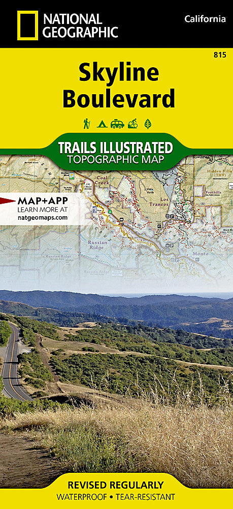
Skyline Boulevard Trails Illustrated Topographic Map #815
Skyline Boulevard Trails Illustrated Topographic Map #815
Couldn't load pickup availability
Share
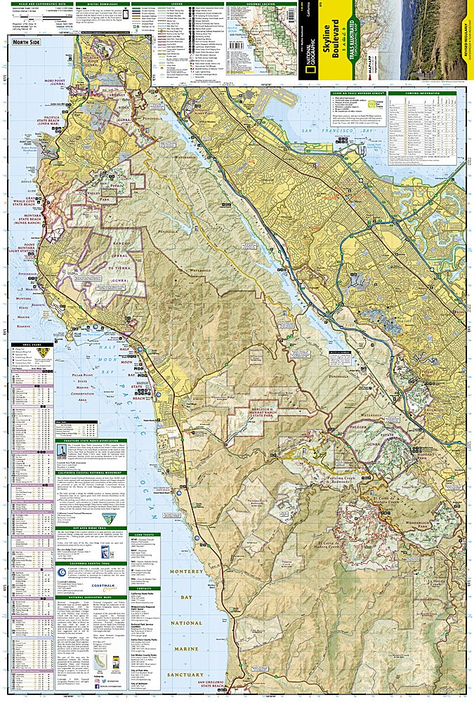
Hit the trails and discover the breathtaking Skyline Boulevard like never before! National Geographic’s Trails Illustrated Topographic Map #815 is your ultimate guide to exploring the Santa Cruz Mountains’ most scenic stretches, from the coastal cliffs of Half Moon Bay State Beach to the towering old-growth redwoods of Castle Rock State Park and the panoramic vistas at Sanborn-Skyline Park. Hike, bike, or explore the Bay Area Ridge Trail with confidence using hundreds of miles of precisely mapped trails, contour lines, and fire roads.
Delve into the region’s rich history while navigating landmarks like Milagra Ridge and Mori Point, once part of early coastal defense sites, and enjoy hidden treasures such as marinas, wineries, and scenic overlooks along the way. Waterproof, tear-resistant, and featuring a full UTM grid for GPS navigation, this map covers everything from South San Francisco to the Monterey Bay National Marine Sanctuary, ensuring your adventure is safe, smooth, and unforgettable.
SKU: SKU:TRA815
View full details