1
/
of
2
National Geographic
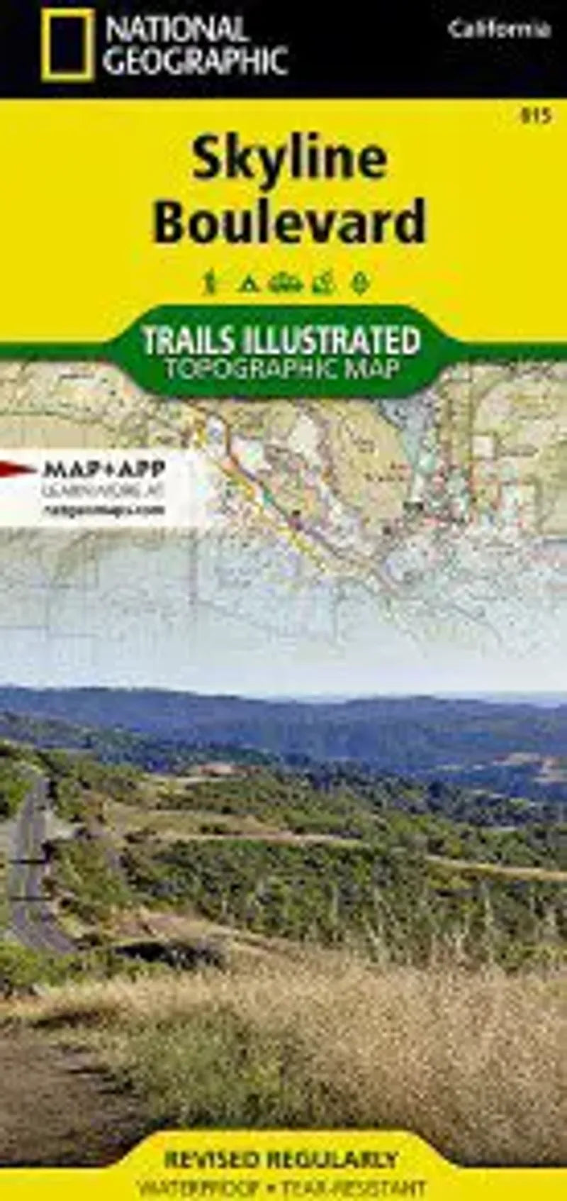
Skyline Boulevard Map
Skyline Boulevard Map
Regular price
$14.95 USD
Regular price
Sale price
$14.95 USD
Unit price
/
per
Couldn't load pickup availability
Share
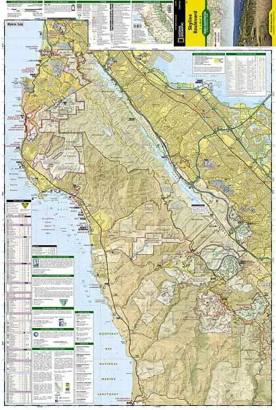
The Skyline Boulevard map by Trails Illustrated covers the area south of San Francisco and southwest of San Mateo, in California. The two sided map covers from Mori Point to Moss Beach and down to Half Moon Bay and beyond, including inland recreation along the San Andreas Lake and Crystal Springs Reservoir. The other side of the map covers the coastal areas of San Gregorio State Beach dwon to Pigeon Point Light Station Historic Park. Inland parks include Pescadero Creek Park, Castle Rock State Park and the numerous small parks along State Route 35 - the Skyline Boulevard.
- 1" = 63 miles
- 1 cm = .4 km
- waterproof material
- Contour Interval 50 feet