National Forest Service
Six Rivers National Forest - Siskiyou Wilderness Forest Service Map
Six Rivers National Forest - Siskiyou Wilderness Forest Service Map
Couldn't load pickup availability
Share
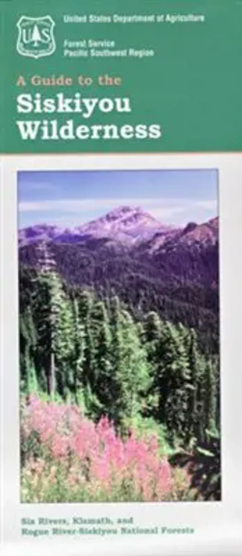
Discover one of Northern California’s most remote and enchanting treasures with the Siskiyou Wilderness Forest Service Map. Located at the tri-corner of California, Oregon, and the Pacific Ocean, this pristine 182,802-acre wilderness in the Six Rivers and Klamath National Forests is home to dramatic ridgelines, old-growth conifers, and rare endemic wildflowers.
Explore iconic spots like Clear Creek National Recreation Trail, Devil’s Punchbowl, and the spectacular Blue Creek Basin. Wildlife lovers may spot black bears, Roosevelt elk, and even the elusive Pacific fisher. The area holds deep significance to local Native American tribes and offers rich biodiversity within one of North America’s most botanically diverse regions.
Whether you’re planning a multi-day backpacking trip or a scenic day hike, this waterproof, topographic map is your trusted guide. Visit the Siskiyou Wilderness to experience wild beauty and solitude like nowhere else on the West Coast.
- Waterproof Map
- 1" to the Mile
- Topography with Contour Interval of 200 ft
SKU: SKU:NFCASISKW
View full details