National Forest Service
Six Rivers National Forest Service Map
Six Rivers National Forest Service Map
Couldn't load pickup availability
Share
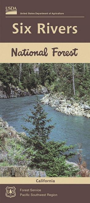
Discover one of California’s best-kept secrets with the Six Rivers National Forest Service Map. Tucked into the remote northwest corner of the state, this 957,000-acre forest is a haven for outdoor lovers. Explore top attractions like the Trinity Alps Wilderness, the wild and scenic Klamath River, and stunning Groves Prairie.
With 1,500 miles of pristine rivers, this region is a paradise for whitewater rafting, kayaking, and world-class salmon and steelhead trout fishing. Towering Douglas firs, lush ferns, and vibrant wildflowers provide a rich habitat for black bears, Roosevelt elk, and bald eagles. Established in 1947, Six Rivers is steeped in Native American history and rich ecological diversity.
Whether you're hiking, fishing, or paddling, this waterproof, easy-to-read topographic map ensures you're ready to explore every corner of this rugged Northern California gem. Grab your map and discover the adventure that awaits in Six Rivers National Forest.
- Waterproof
- 1/2" to the Mile
- Shaded Relief Style Map
SKU: SKU:NFCASIX
View full details