National Geographic
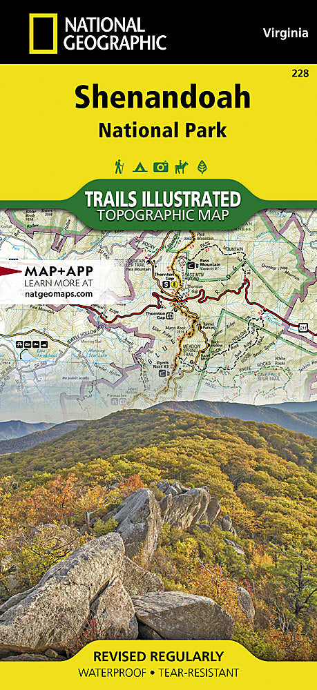
Shenandoah National Park Trails Illustrated Topographic Map #228
Shenandoah National Park Trails Illustrated Topographic Map #228
Couldn't load pickup availability
Share
Get ready to explore Shenandoah like never before with National Geographic’s Trails Illustrated Topographic Map #228! Whether you’re hiking the iconic Appalachian Trail, chasing waterfalls at Dark Hollow Falls, or soaking in panoramic views at Skyline Drive, this map is your ultimate trail companion. Covering the park’s most popular spots—Big Meadows, Loft Mountain, and Skyland—it’s perfect for planning adventures on foot, by horse, or even a scenic drive.
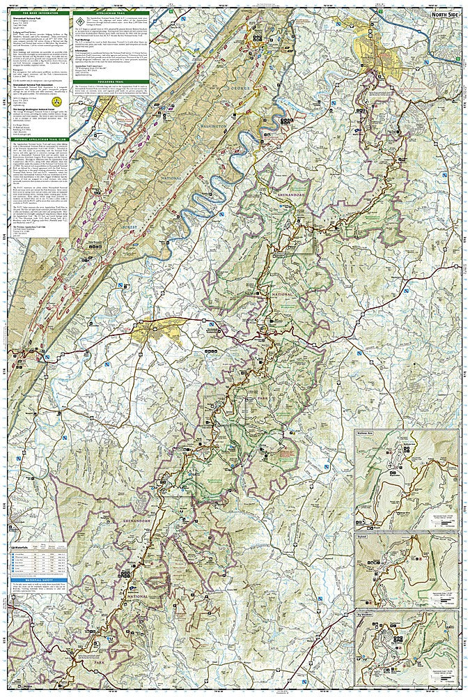
Steeped in history, Shenandoah National Park has been welcoming nature lovers since the 1930s, with trails carved through the majestic Blue Ridge Mountains. This map includes everything hikers need: contour lines, elevation markers, waterfall charts, trail distances, and access to camping, fishing, and ranger programs. Waterproof, tear-resistant, and GPS-ready with a full UTM grid, it’s designed to handle the rigors of real outdoor adventure. Get ready to navigate, explore, and experience Shenandoah like a pro!
SKU: SKU:TRA228
View full details