National Geographic
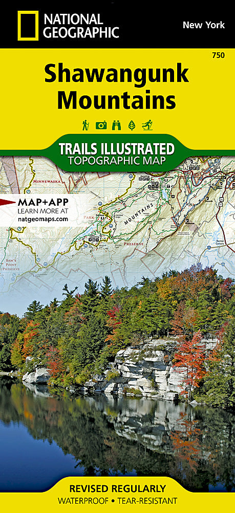
Shawangunk Mountains Trails Illustrated Topographic Map #750
Shawangunk Mountains Trails Illustrated Topographic Map #750
Couldn't load pickup availability
Share
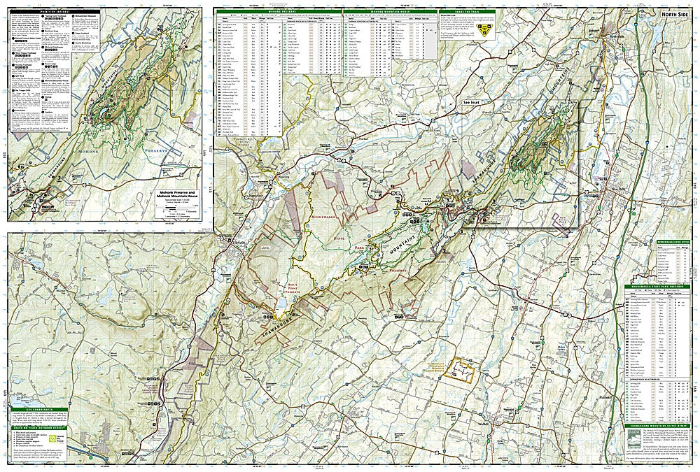
Looking for epic hikes, jaw-dropping views, and a map that won’t quit? The Shawangunk Mountains Trails Illustrated Topographic Map #750 by National Geographic is your ultimate adventure sidekick. Known as “The Gunks,” this ridge in New York’s Hudson Valley is legendary for rock climbing, hiking, and sweeping vistas. With detailed coverage of Mohonk Preserve, Minnewaska State Park, and Sam’s Point Preserve, you’ll never run out of trails, waterfalls, or lookout points to explore.
Steeped in history, the Shawangunks were once home to hardy settlers and glassmakers in the 18th and 19th centuries, and today they remain one of the Northeast’s most beloved outdoor playgrounds. This waterproof, tear-resistant map highlights the Shawangunk Ridge Trail, Long Path, and dozens of recreational gems like Bashakill wetlands and the Upper Delaware River. Packed with mileage markers, trailheads, campgrounds, and scenic byways, this map keeps you on track for unforgettable hikes in every season.
SKU: SKU:TRA750
View full details